Journalism of Courage
WEATHER NEWS - Page 19
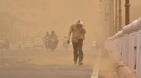
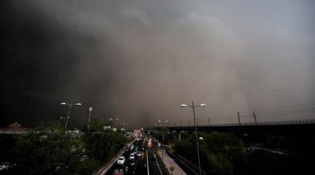
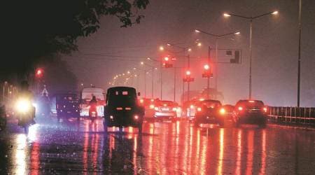
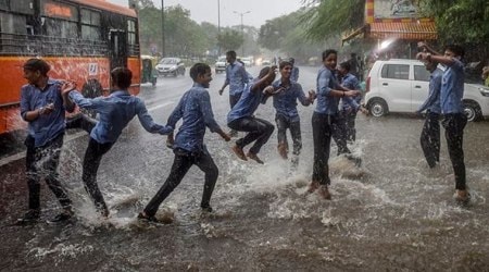
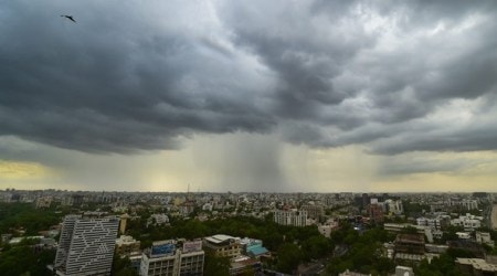
Thunderstorm, dust storm likely in the national capital
May 1, 2019 11:44 IST
The weatherman has forecast partly cloudy skies with the possibility of dust storm/thunderstorm towards the afternoon and evening and gusty winds of speed 30 to 40 km/hr. The maximum temperature is likely to settle around 42 degrees Celsius.
Odisha to be most affected by Cyclone Fani: Chief Secretary Aditya PadhiSubscriber Only
April 30, 2019 20:52 IST
Around 3:30 pm, the Indian Met Department also tweeted that Fani, currently 800 kms south of Puri, is “very likely to intensify further into an Extremely Severe Cyclonic Storm during next 12 hours”.
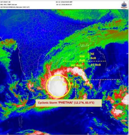
Cyclone Fani to make landfall at Odisha coast on May 4 morningSubscriber Only
April 30, 2019 07:08 IST
Fani was located about 700 km southeast of Chennai in the Bay of Bengal on Monday night and was progressing at the speed of about 18 km per hour, a speed that was expected to increase in the next couple of days.
Cyclone Fani intensifies into severe cyclonic storm: IMD
April 29, 2019 23:36 IST
It could take a shape of an 'extremely severe cyclone' by Wednesday, prompting the government to put the National Disaster Response Force and the Indian Coast Guard on high alert, officials said.

Odisha prepared to face Cyclone Fani, puts districts on alert
April 29, 2019 16:02 IST
"We are prepared to tackle any eventuality though the IMD has so far not given any definite information regarding landfall of the cyclone in any state in the eastern coast, including Odisha," Special Relief Commissioner (SRC) B P Sethi said.
IMD working at faster pace to issue block-level weather forecast by next year
April 24, 2019 11:08 IST
In 2018, IMD tied up with Indian Council of Agricultural Research (ICAR) to extend weather forecast and agromet advisory services (AAS) at the block level.
Delhi witnesses light showers, windy evening
March 30, 2019 20:11 IST
The maximum temperature in Delhi was recorded as 39.5 degrees Celsius, while the minimum temperature stood at 22 degrees on Saturday.
‘Earth may be experiencing warmest decade on record’
February 10, 2019 17:37 IST
The figures released by the UK Met Office include data from a number of sources including the latest publication of provisional figures for 2018. Records for annual global average temperature extend back to 1850.
Rise in night temperature across Jammu
January 16, 2019 16:00 IST
The minimum temperature in Jammu city appreciated by several notches to settle at 6.2 degrees Celsius against the previous night's 3.5 degrees Celsius, a spokesman of the Meteorological Department (MeT) said.
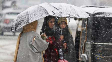
Moderate to heavy snowfall expected in Jammu-Kashmir
January 1, 2019 12:33 IST
The statement issued said that the disturbance will affect different areas of Jammu, Kashmir and Ladakh regions which are expected to receive light to moderate rain and snow.
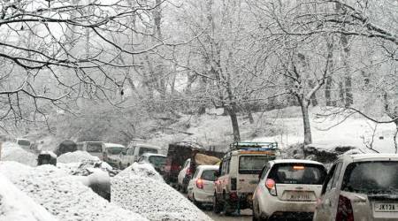
Temperature dips in Delhi after light rain, Avalanche warning issued in J&K, Himachal, Uttarakhand
November 14, 2018 23:37 IST
A warning for avalanche has been issued in the states of Himachal Pradesh, Jammu and Kashmir and Uttarakhand.
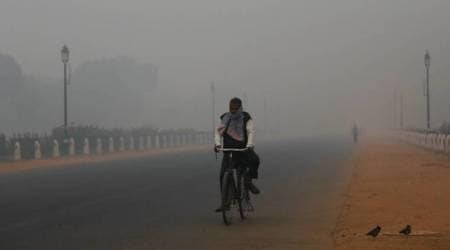
Thick haze engulfs Delhi, air quality remains severe
November 13, 2018 13:22 IST
On Tuesday, the level of PM2.5 (particles in the air with a diameter of less than 2.5 micrometres) and PM10 (particles in the air with a diameter of less than 10 micrometres) in Delhi was recorded at 238 and 399 respectively.
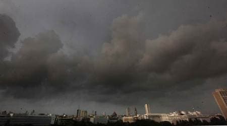
Southwest Monsoon to completely withdraw from country by October 20
October 19, 2018 19:40 IST
The Southwest Monsoon officially starts on June 1 and ends on September 30. Its withdrawal starts from western Rajasthan from September 1.

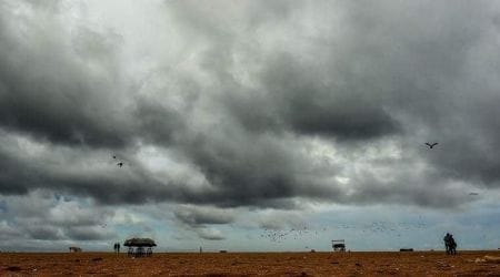
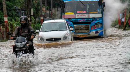
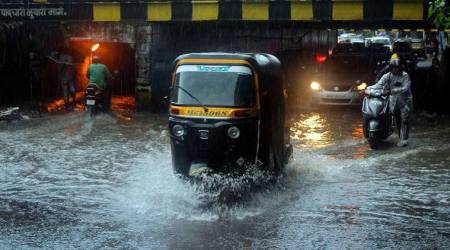
IMD warns of heavy downpour in South India, red alert issued in Kerala
October 4, 2018 13:25 IST
In places where it had already begun pouring Wednesday evening, educational institutions remained closed Thursday whereas various areas have been waterlogged due to incessant showers
No heavy rains in city for next week: IMD
September 16, 2018 00:37 IST
According to the Indian Meteorological Department (IMD), while Santacruz recorded 0.5 mm rainfall until Saturday evening, Colaba recorded 1.8 mm of rains.
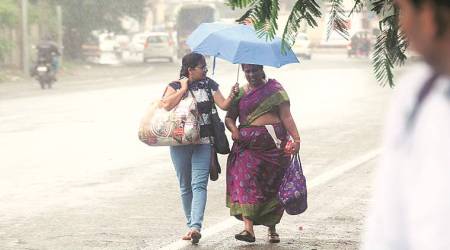
Afternoon showers in Delhi-NCR, possibility of light rains tomorrow
September 7, 2018 20:41 IST
The weatherman has further predicted light showers in several areas of the city Saturday. "The skies will remain generally cloudy. There is possibility of light rain tomorrow," a MeT official said.

Delhi Weather Highlights: Rains lash parts of the city and adjoining areas
August 24, 2018 07:18 IST
The MET department forecast a decline in maximum temperature in the next three days due to light showers. The maximum and minimum temperatures are expected to be 34 and 27 degree Celsius respectively, on Thursday.
Monsoon Watch: Average Rainfall 54% so far 4 more Gujarat districts in deficit list
August 6, 2018 00:14 IST
Apart from these four districts, as many as 13 districts are under deficit. These are Devbhoomi Dwarka, Rajkot, Morbi, Kheda, Vadodara, Panchmahal, Narmada, Dahod, Mahisagar in central Gujarat and Mehsana, Patan, Sabarkantha and Banaskantha in northern Gujarat.
Kerala rains deaths toll rises to 28, showers to continue
July 19, 2018 16:37 IST
Around 86,598 people have taken shelter in relief camps across Kerala, officials said.
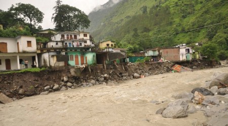
Cloudburst in Chamoli districti, many houses, shops washed away
July 16, 2018 13:25 IST
The Badrinath Highway was also blocked for some time this morning at Lambagad, Pipalkoti and Gauchar due to heavy rains. Relief and rescue teams have been rushed to affected areas, Chamoli District Magistrate Ashish Joshi said.
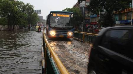
Mumbai rains highlights: City to receive heavy rainfall as monsoon picks up
June 27, 2018 07:24 IST
Mumbai rains highlights: Mumbai is likely to receive heavy to very heavy rainfall today. Here's the latest news and updates.
India weather HIGHLIGHTS: Monsoon revives; likely to reach central, northern India this week, says IMD
June 24, 2018 18:37 IST
India weather HIGHLIGHTS: Rains in Gujarat resulted in temperature dropping a few notches across the state barring Rajkot and Surendranagar, which witnessed temperatures higher than 40 degrees Celsius.
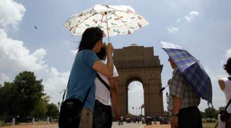
Delhi wakes up to humid morning, maximum temperature to reach 39 degrees Celsius
June 19, 2018 12:20 IST
The MeT department has predicted Delhi will witness clear skies throughout the day with the maximum temperature likely to settle around 39 degrees Celsius.
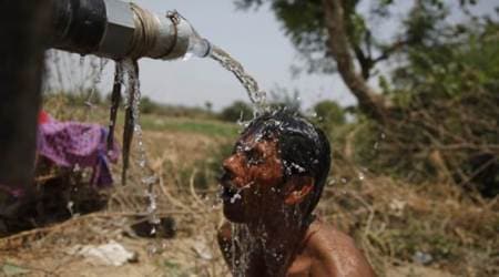
Kolkata reels under heatwave, govt extends summer vacation in schools by 10 days
June 19, 2018 12:08 IST
With the mercury touching the 41 degrees Celsius mark on Monday, breaking a 10-year record for the month of June, the MeT office has predicted that temperatures may rise further.
Advertisement


BEST OF EXPRESS


EntertainmentGovinda asks Sunita Ahuja not to ‘suffocate’ him; claims conspiracy against him: 'Even Krushna Abhishek is being used to insult me'

EntertainmentShe worked for just two years, delivered only classics and hits; Mohanlal once 'saved her life' at Suicide Point in Kodaikanal

Trending'Suffering at the highest level': American life coach warns AI-driven job losses could trigger psychological crisis, violence

TrendingBeyond just "exporting": Why Nikhil Kamath believes Indian brands are finally beating the west at luxury game


Advertisement
Must Read
SportsIndia vs New Zealand: Harshit Rana's ability with the bat gives hope of having genuine pace bowling all-rounder for World Cup in South Africa

SportsIndia Open Super 750: As no home player went beyond quarterfinals, performances on the court leave much to ponder


Advertisement


