© The Indian Express Pvt Ltd

 Doppler weather radar station on the hilltop of Kailasagiri in the city of Visakhapatnam in 2019. (Photo: Wikimedia Commons)
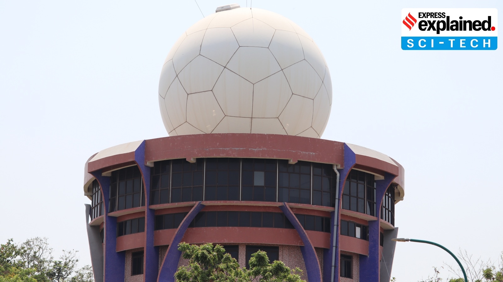
There are currently 47 Doppler weather radars (DWRs) across the country to survey weather patterns and forecast, Minister of State for Earth Science Jitendra Singh has said in response to a query during the Winter Session of the Parliament.
He added, “In recent years, the observational infrastructure and monitoring network over hilly regions has been significantly strengthened. In the western Himalayan States, Doppler Weather Radars (DWRs) have been installed at ten locations — Srinagar, Jammu, Banihal Top, Mukteshwar, Surkanda Devi, Lansdowne, Leh, Kufri, Jot, and Murari Devi. These radars are operational and support real-time monitoring and nowcasting (short-range forecasts of a few hours) of various extreme weather events such as heavy rainfall and snowfall.”
In a different response, Singh stated that DWRs cover 87% of the country’s total area, and the government will install these radars in the remaining areas.
In radars, a beam of energy, called radio waves, is emitted from an antenna. When this beam strikes an object in the atmosphere, the energy scatters in all directions, with some reflecting directly back to the radar.
The larger the object deflecting the beam, the greater is the amount of energy that the radar receives in return. Observing the time required for the beam to be transmitted and returned to the radar allows weather forecasting departments to “see” raindrops in the atmosphere, and measure their distance from the radar.
What makes a DWR special is that it can provide information on both the position of targets as well as their movement. It does this by tracking the ‘phase’ of transmitted radio wave pulses; phase meaning the shape, position, and form of those pulses. As computers measure the shift in phase between the original pulse and the received echo, the movement of raindrops can be calculated, and it is possible to tell whether the precipitation is moving toward or away from the radar.
In India, DWR of varying frequencies — S-band, C-band and X-band — are commonly used by the IMD to track the movement of weather systems and cloud bands, and gauge rainfall over its coverage area of about 500 km. The radars guide meteorologists, particularly in times of extreme weather events like cyclones and associated heavy rainfall. An X-band radar is used to detect thunderstorms and lightning, whereas a C-band radar helps in cyclone tracking.
With the radar observations, updated every 10 minutes, forecasters can follow the development of weather systems as well as their varying intensities, and accordingly predict weather events and their impact.
The phase shift in these radars works on the same lines as the “Doppler effect” observed in sound waves, in which the sound pitch of an object approaching the observer is higher due to compression of sound waves (a change in their phase).
As this object moves away from the observer, the sound waves stretch, resulting in a lower frequency. This effect explains why an approaching train’s whistle sounds louder than the whistle when the train moves away. The discovery of the phenomenon is attributed to Christian Doppler, a 19th-century Austrian physicist.
According to the US National Weather Service, in an hour, a DWR transmits a signal for only over seven seconds, and spends the remaining 59 minutes and 53 seconds listening to returned signals.