© The Indian Express Pvt Ltd

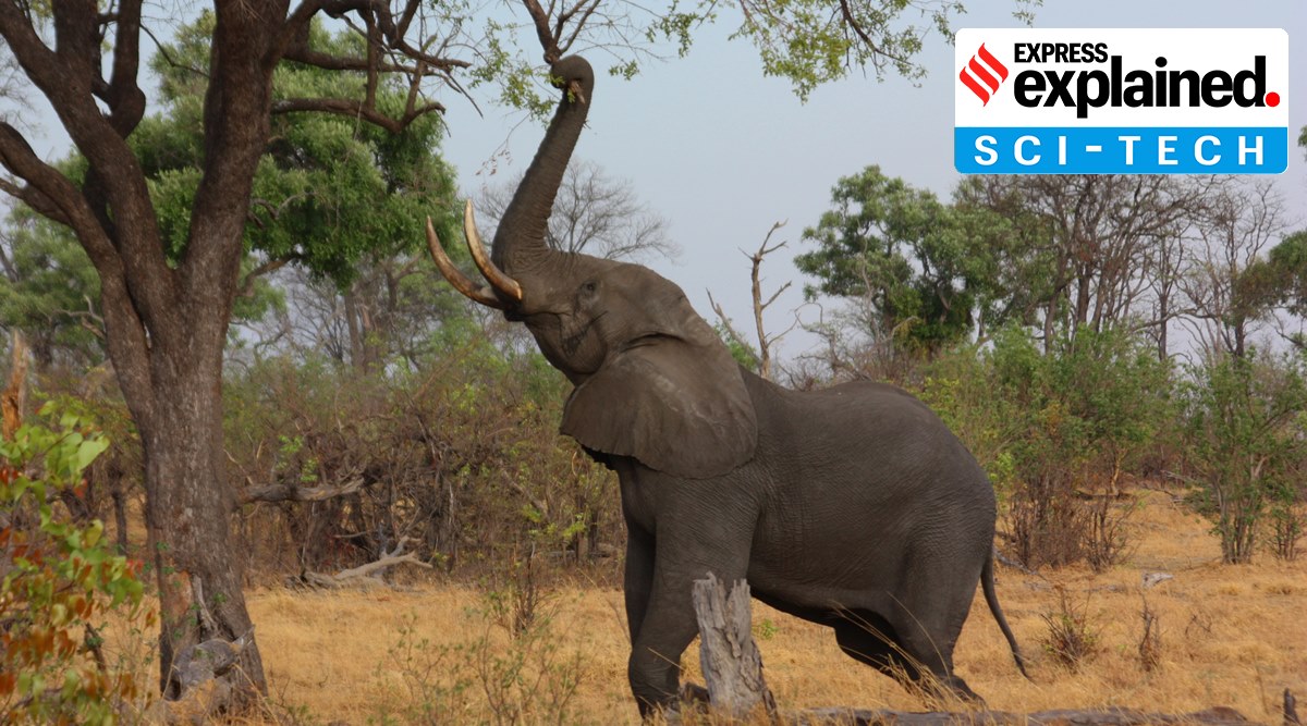 The population of African elephants has plummeted over the last century due to poaching, retaliatory killing from crop-raiding and habitat fragmentation. (Source: Wikimedia Commons)
Scientists are using very high-resolution satellite imagery to count and detect wildlife species, including African elephants. A team of researchers from the University of Oxford Wildlife Conservation Research Unit and Machine Learning Research Group detected elephants in South Africa from space using Artificial Intelligence with an accuracy that they have compared to human detection capabilities.
The team has described their work in the journal Remote Sensing in Ecology and Conservation.
What is the significance of this?
An article published on the university’s website says the population of African elephants has plummeted over the last century due to poaching, retaliatory killing from crop-raiding and habitat fragmentation. Therefore, in order to conserve the species, it is important for scientists to track elephant populations.
It is important that scientists know the exact number of elephants that exist in an area as inaccurate counts can lead to misallocation of conservation resources, which are already limited and have resulted in misunderstanding population trends.
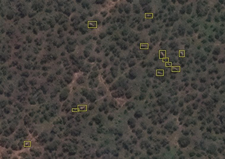 A satellite image of elephants at Addo Elephant National Park, South Africa. (Source: Maxar Technologies)
So, how did scientists track the elephants?
Before researchers developed the new technique, one of the most common survey methods to keep a check on elephant populations in savannah environments involved aerial counts undertaken from manned aircraft.
However, this method does not deliver accurate results since observers on aircraft are prone to get exhausted, are sometimes hindered by poor visibility and may even succumb to bias. Further, aerial surveys are costly and logistically challenging, the university article states.
To test the new method, researchers chose the Addo Elephant National Park in South Africa, the country’s third-largest park and which has a high concentration of elephants. They used satellite imagery that required no ground presence to monitor the elephants.
Researchers used the highest resolution satellite imagery currently available, called Worldview3.
The team created a training dataset of 1,000 elephants and fed it to the Convolutional Neural Network (CNN) and compared the results to human performance.
But, this is not the first study of its kind to initiate tracking of elephants using satellites. In 2002, Smithsonian scientists started using geographic information systems (GIS) technology to understand how they could conserve Asian elephants. At the time, scientists launched the first satellite-tracking project on Asian elephants in Myanmar.