© The Indian Express Pvt Ltd

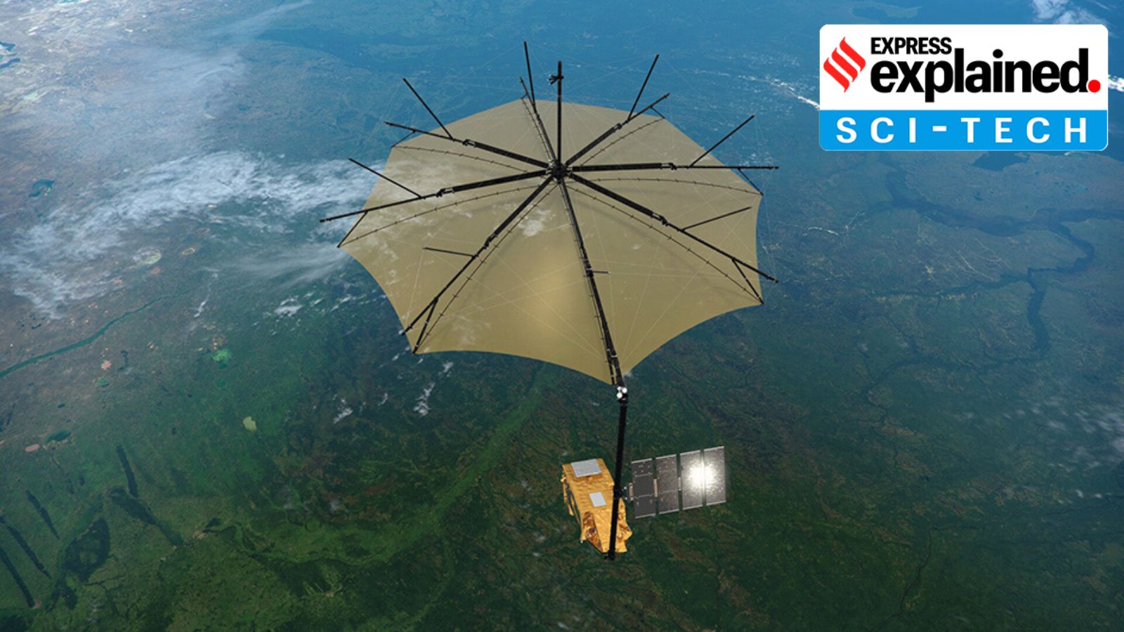 Illustration of the Biomass satellite (ESA)
The European Space Agency (ESA) is set to launch its ambitious Biomass mission later this month.
The mission will map the world’s forests to provide the very first comprehensive measurements of forest biomass at a global scale. It will find out how forests are changing, and further our understanding about their role in the carbon cycle.
The satellite is scheduled to lift off on April 29 aboard a Vega C rocket from the ESA’s Korou spaceport in French Guiana. It will be placed in a sun-synchronous orbit — meaning that it will always appear in the same position relative to our star — at an altitude of around 666 km.
All life on Earth, from smallest microbes to gigantic California Redwoods, is carbon-based. As such, carbon is the element that makes life as we know it possible. But Earth does not gain or lose carbon. The element only moves between the atmosphere, living organisms, Earth’s crust and soil, and the oceans.
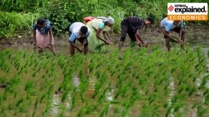
This process is known as the carbon cycle, of which forests are an essential part. This is because forests store massive amounts of carbon — scientists estimate that they absorb around 16 billion metric tonnes of carbon dioxide (CO2) per year, and currently hold 861 gigatonnes of carbon in their soils and vegetation.
Unfortunately, data on forest biomass — the mass of organic matter in forests — are severely lacking on a global scale. This fundamentally limits our understanding of the state of the forests, and their impact on the carbon cycle (and climate).
The Biomass mission aims to bridge this knowledge gap. The mission will allow scientists to more accurately measure how the distribution of carbon in the planet is changing, as humans continue to cut down trees, and increase CO2 levels in the atmosphere.
In 2023, Earth lost 3.7 million hectares of tropical forests, equivalent to losing around ten football fields worth of forest land every minute, according to a report by the World Resources Institute. “This forest loss produced roughly 6% of estimated global CO2 emissions in 2023,” the report said.
Simonetta Cheli, director of Earth Observation Programmes for the ESA, told The Observer, “We need to know the health of our tropical forests… We need to know the quality and diversity of its vegetation and the amount of carbon stored there. To get that information we are going to create 3D images of them — from the top of the forest canopy to the roots of its trees.”
Beyond forest monitoring, the Biomass mission will also observe the movement of ice sheets in Antarctica, and generate digital models of terrains covered by dense vegetation.
To fulfil its objectives, the mission will use a synthetic aperture radar (SAR) to map the Earth’s surface. Notably, the satellite, which is fitted with a massive 12-m antenna, will be the first in space to use a long-wave P-band SAR.
It will thus be able to penetrate dense forest canopies to assess how much carbon is stored on the floor and in the branches of the trees, and to assess how these levels are changing over time. Note that as a general rule, shorter wavelengths of electromagnetic radiation penetrate matter less than longer wavelengths.
Shaun Quegan, a researcher at Sheffield University (England) and head of the Biomass science team, told The Guardian: “What the mission will do, effectively, is weigh the forests it studies… We know half that weight must be made up of carbon. So we are going to be able to weigh the carbon content of the world’s… forests from space and, crucially, work out how much these are changing over time. We will then know the balance of carbon that is flowing to and from the atmosphere. That is enormously important.”