© The Indian Express Pvt Ltd

 Census data serve as the crucial guide for re-drawing electoral boundaries in India. (Express file photo by Renuka Puri)
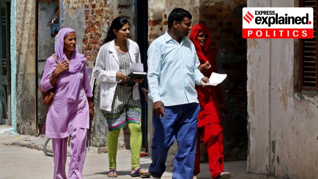
Written by Sanjay Kumar and Krishangi Sinha
Home Minister Amit Shah assured southern states last week that they wouldn’t lose “even a single seat” after the fresh delimitation of constituencies. It was an attempt to address concerns, especially in Tamil Nadu and Kerala, about the potential loss of parliamentary representation if the exercise is based only on population data.
The 2021 Census, which was delayed by the Covid-19 pandemic, is expected to begin this year, and will be followed by the delimitation of constituencies. The Constitution (Eighty-Fourth Amendment) Act, 2002 froze existing constituency boundaries until “the first Census taken after the year 2026”.
Constitutional commitment
The delimitation of constituencies represents the constitutional commitment to a fair and representative electoral framework and the equitable representation of citizens in elected bodies.
The number of constituencies in Parliament and state Assemblies is adjusted according to the latest population figures to ensure that the number of Indians represented by an MP/ MLA remains roughly the same. (The principle of ‘one citizen, one vote, one value’ laid down under Article 81.)
Article 82 (“Readjustment after each census”) says that “Upon the completion of each census, the allocation of seats in the House of the People to the States and the division of each State into territorial constituencies shall be readjusted by such authority and in such manner as Parliament may by law determine”.
Article 170(3) provides for the readjustment, “upon the completion of each census”, of the “total number of seats in the Legislative Assembly of each State and the division of each State into territorial constituencies”.
Following the 1951 Census, the Delimitation Commission Act of 1952 created the first Delimitation Commission to draw the boundaries of Lok Sabha and state Assembly constituencies.
These boundaries have been subsequently redrawn thrice by delimitation commissions set up under the Delimitation Commission Acts of 1962, 1972, and 2002.
The most recent delimitation re-drew some constituency boundaries on the basis of the 2001 Census. However, the number of Lok Sabha seats, the allocation for each state, and the number of seats in state Assemblies, have remained unchanged since the delimitation of 1972.
Based on the Census of 1971, the number of Lok Sabha seats was fixed at 543, which meant that each MP represented roughly a million Indians. (The number of Lok Sabha seats was earlier fixed at 494 and 522 after the censuses of 1951 and 1961 respectively.)
The Constitution (Forty-second Amendment) Act, 1976 – passed by the government of the Emergency focused on efforts to control India’s population – froze the number of Lok Sabha seats until after the first Census taken after 2000.
And in 2002, the Atal Bihari Vajpayee government extended the freeze until at least 2026.
The President appoints a Delimitation Commission headed by a retired judge of the Supreme Court, and comprising the Chief Election Commissioner or his representative, and the State Election Commissioners.
In addition, associate (or co-opted) members are appointed for each state or Union Territory undergoing delimitation. These members are sitting MPs appointed by the Speaker of Lok Sabha and MLAs appointed by the Speaker of the Legislative Assembly concerned.
Associate members provide inputs and advice, but do not have decision-making powers or the right to vote, if voting is required on any issue.
The Commission operates independently of the government, and the revised boundaries drawn by it cannot be challenged in court.
Census data serve as the main basis of delimitation. This is at the heart of the apprehensions of southern states who fear the failure of North Indian states at controlling their population could be rewarded by increased representation in Parliament, while the South is punished for its success. In this scenario, the BJP’s domination of the North could in theory lead to the South, where the BJP does not have a strong presence except in Karnataka, becoming irrelevant in national politics.
Census data also serve as the crucial guide for re-drawing electoral boundaries, taking into account geographical contiguity, population density, and socio-economic realities.
In particular, the data help to identify regions with significant Scheduled Caste (SC) and Scheduled Tribe (ST) populations, and ensure that seats are reserved in proportion to the share of the SC/ST population. However, since Dalit populations are scattered, SC seats are reserved based both on the concentration of the SC population and the spread of these seats across the various regions of the state.
Following the creation of proposed borders, the Delimitation Commission releases its recommendations and invites feedback from the general public, political parties, and other stakeholders. The delimitation plan is finalised after making the necessary revisions. Once published in the official Gazette, the Commission’s orders take effect in the next election.
Kumar is a professor at the Centre for the Study of Developing Societies (CSDS). Sinha is a Researcher at Lokniti, a research program of CSDS.