Journalism of Courage

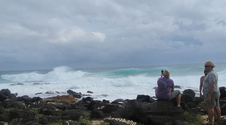 Hurricane Ana was carving a path south of Hawaii early Saturday, producing high waves, strong winds.
Climate change will see powerful “grey swan” cyclones hitting cities along the Persian Gulf, parts of Florida, and Australia more frequently over the next century, according to the study.
Unlike “black swan” events, which are entirely unexpected, grey swans may be anticipated by combining physical knowledge with historical data. “Grey swan” tropical cyclones can whip up catastrophic surges bigger than what can be predicted through weather data alone, but which can be forecast if data is supplemented by global simulations.
Researchers simulated the risk of such cyclones, and their storm surges, for three coastal regions, and found that they could strike regions such as Dubai, where no tropical storm has ever been recorded. In Tampa, Florida, and Cairns, Australia, the already frequent storms were likely to rise to unprecedented magnitudes in the next century.
[related-post]
“These are locations where either no one’s anticipated a hurricane at all, such as in the Persian Gulf, or they’re simply not aware of the magnitude of disaster that could occur,” Kerry Emanuel, of the Department of Earth, Atmospheric, and Planetary Sciences, MIT, said.
The world has so far not seen a black swan or grey swan cyclone because every storm that has ever occurred could, in retrospect, have been predicted, given the previous pattern of storm activity. However, as climate change alters the Earth’s atmosphere and its oceans in the coming decades, the track and magnitude of storms may deviate from historical patterns.
The researchers embedded the hurrican model into six climate models, each based on environmental data from the past, or projections for the future. For each simulation, they “seeded” thousands of randomly distributed nascent storms, and observed which storms produced unprecedented storm surges, given environmental factors such as temperature and location.
The simulations suggested that by the end of the century, surges of 11 m and 7 m could strike Tampa and Dubai, respectively. The last big hurricane to hit Tampa, in 1921, produced a storm surge that measured 3 m.
— ADAPTED FROM ‘MIT NEWS’ REPORT