© The Indian Express Pvt Ltd

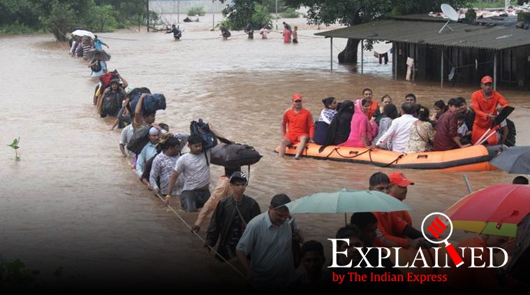 Passengers of Mahalaxmi Express being rescued by NDRF after the train was stranded in Thane due to flooding on tracks following heavy rains in July 2019. (Express photo by Deepak Joshi/File)
Maharashtra’s Chief Minister Uddhav Thackeray and Union Minister for Health and Family Welfare, Science and Technology, Dr Harsh Vardhan launched an Integrated Flood Warning System called ‘IFLOWS-Mumbai’ on Friday.
A joint initiative between the Ministry of Earth Sciences (MoES) and Brihanmumbai Municipal Corporation (BMC), the warning system will be able to relay alerts of possible flood-prone areas anywhere between six to 72 hours in advance. Mumbai is only the second city in the country after Chennai to get this system. Similar systems are being developed for Bengaluru and Kolkata.
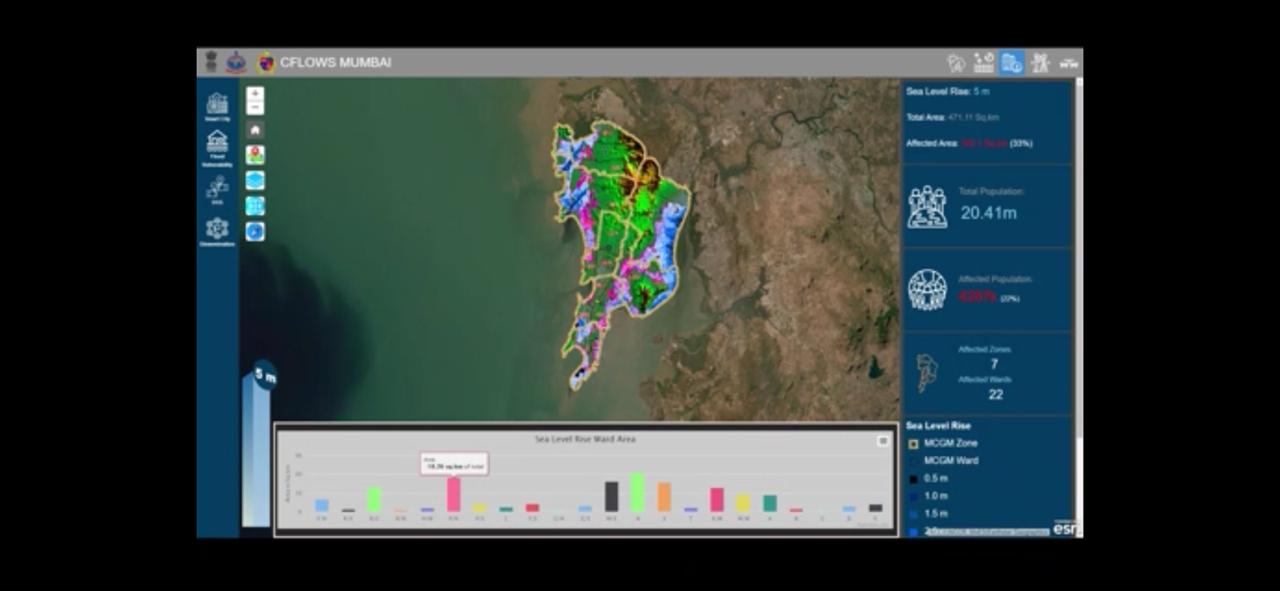
IFLOWS is a monitoring and flood warning system that will be able to relay alerts of possible flood-prone areas anywhere between six to 72 hours in advance. The system can provide all information regarding possible flood-prone areas, likely height the floodwater could attain, location-wise problem areas across all 24 wards and calculate the vulnerability and risk of elements exposed to flood.
The primary source for the system is the amount of rainfall, but with Mumbai being a coastal city, the system also factors in tidal waves and storm tides for its flood assessments. In the last two years, researchers have been conducting studies to provide real-time weather information by measuring the city’s rainfall, how much water drained out, topography, land use, infrastructure development, population, lakes, creeks and data on river bathymetry of all rivers namely Mithi, Dahisar, Oshiwara, Poisar and Ulhas.
📣 Express Explained is now on Telegram. Click here to join our channel (@ieexplained) and stay updated with the latest
The system has provisions to capture the urban drainage within the city and predict the areas of flooding. The system comprises seven modules- Data Assimilation, Flood, Inundation, Vulnerability, Risk, Dissemination Module and Decision Support System.
 The system has provisions to capture the urban drainage within the city and predict the areas of flooding.
The system incorporates weather models from the National Centre for Medium Range Weather Forecasting (NCMRWF), India Meteorological Department (IMD), field data from the rain gauge network of 165 stations set up by Indian Institute of Tropical Meteorology (IITM), BMC and IMD.

Mumbai, the financial capital of India, has been experiencing floods with increased periodicity. The recent flood on 29 August 2017 had brought the city to a standstill. Last year, post-monsoon and unseasonal rainfall as late as October, two tropical cyclones in the Arabian Sea had caught authorities off guard and left a trail of destruction. The flood during 26th July 2005, when the city received a rainfall of 94 cm, a 100 year high in a span of 24 hours had paralyzed the city completely. Urban flooding is common in the city from June to September, resulting in the crippling of traffic, railways and airlines. As a preparedness for floods before they occur, the system will help in warning the citizens so that they can be prepared in advance for flooding conditions.
Based on the amount of rain recorded, time, location, topography and forecast, the system is designed to generate flood warnings for specific geographical areas of the city. All this information will then be routed to authorities. The early warning forecast would include alerts on rainfall information, tide levels, storm surge for low-lying areas anticipated to be affected, thereby minimizing the damage from cyclones and heavy rain events in Mumbai by evacuating people to safe areas. The system, initially only to be accessed by the civic body will enable them to issue alerts for citizens who can then avoid such zones.