© The Indian Express Pvt Ltd

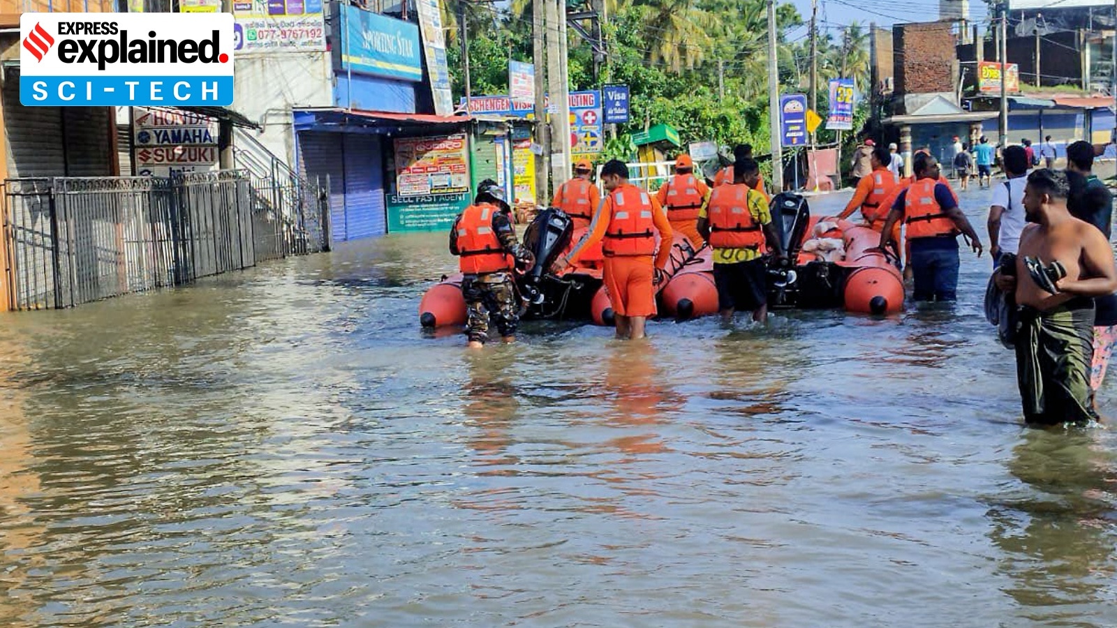 Cyclone Ditwah News: NDRF personnel undertake relief operations in close coordination with local authorities in areas affected by flooding caused by Cyclone Ditwah in Sri Lanka, on Sunday. (Photo: ANI)
Cyclone Ditwah Sri Lanka damage: Cyclone Ditwah has been moving in the Indian Ocean region for almost a week now. It originated southeast of Sri Lanka on November 26 and moved slowly northwards along Sri Lanka’s eastern coastline, causing large-scale devastation. Hundreds of people are reported to have been killed in Sri Lanka. The remnants of Ditwah have continued to move northwards, reaching the Indian coastline, and on Tuesday, were located about 40 km southeast of Chennai around noon.
The Indian Ocean region is no stranger to tropical cyclones. Multiple cyclones are formed in the Indian Ocean every year, and many of them arrive on the Indian coastline, both from the Bay of Bengal side as well as the Arabian Sea side. Over the years, India has built an elaborate mechanism to deal with these cyclones and minimise their impact.
Cyclone Ditwah has been slightly different. It originated at a place, south of Sri Lanka, which is not a usual location for the generation of cyclones. Unlike India, Sri Lanka is not used to receiving cyclones like these and, therefore, is not as well prepared to deal with them. Ditwah moved northwards along the Sri Lankan coastline, and was not directed towards the country’s landmass, as usually happens with cyclones heading towards India. This meant that, instead of dissipating quickly over land, the cyclone lingered along the coast for a long time, worsening the damage.
This, even though Ditwah was only a moderately strong cyclone. Much stronger cyclones have hit the Indian landmass with very little damage compared to what Ditwah caused in Sri Lanka.
Though not a regular phenomenon, like in India, the Philippines, Indonesia or China, cyclones are not completely unknown in Sri Lanka. Since the year 2000, the country has faced at least 16 cyclones, according to a report titled ‘Tropical Cyclones: hazard profile of Sri Lanka’. Most of them are very mild compared to what comes to the Indian coastline.
Ditwah was just a ‘cyclonic storm’, the second weakest category. There at four categories of cyclones stronger than this, based on the wind speeds associated with them, and their damage potential.
“Historically, very few cyclones have affected Sri Lanka, and their frequency is less,” Mrutyunjay Mohapatra, director general, IMD, told The Indian Express.
Sri Lanka, located between 5 and 10 degrees north latitude, is closer to the equator than India. Cyclones generally form slightly away from the equator. That is because one of the key ingredients in cyclone formation, the Coriolis force that makes the cyclone spin, is not strong enough near the equator.
Devastating Ditwah
Ditwah emerged from a low-pressure system that had developed in the southwest Bay of Bengal around November 25. This area in the north Indian Ocean basin is not commonly known for cyclone formation, but two favourable conditions happened at the same time, making the emergence of Ditwah possible. The Intertropical Convergence Zone, a region near the equator where northeast and southwest trade winds converge, resulting in lots of clouds and thunderstorms, was quite active during that time. Simultaneously, a system of equatorial waves — disturbances in the atmosphere that happen periodically in this region — also developed. The interaction of these two systems provided the required fuel for the emergence of Ditwah on November 27.
At that time, the system was about 90 km northwest of Batticaloa on the eastern coast of Sri Lanka. Winds associated with Ditwah ranged between 60 and 90km/hr, meaning that it was a low-intensity cyclone.
When a cyclone develops close to the landmass and is headed landwards, the potential for damage is much more compared to those that originate deep in the sea and move landwards over a few days. Along with its track and intensity, the speed at which it travels also contributes to the impact that a cyclone can have. Slow-moving cyclones have greater potential for damage because they linger for a long time.
“This cyclone’s movement remained very slow,” Mohapatra said.
Additionally, as mentioned earlier, the cyclone was not directed landwards towards the Sri Lankan mainland, but was moving northwards, heading towards the Indian coastline. That meant it moved almost parallel to the eastern coastline of Sri Lanka, causing damage all the way.
Ditwah brought along massive rainbands that went on to dump extremely heavy rain for till early hours of November 29 on the island, whose hilly terrain faced the maximum brunt. Multiple major landslides and incidents of seawater entering coastal regions left homes and roads along eastern Lanka inundated.
Warning and preparation
The India Meteorological Department (IMD) runs the Regional Specialised Meteorological Centre (RMSC), which monitors the oceans in this region and issues alerts for cyclones. It serves all the regional countries — Bangladesh, Maldives, Myanmar, Oman, Pakistan, Sri Lanka and Thailand.
The IMD had first predicted the formation of a depression as early as November 13, and issued an alert over the possibility of cyclogenesis on November 20. From November 23 onwards, IMD issued three-hourly and six-hourly weather updates of the system, indicating its development around November 26. All the information was shared with Sri Lanka in a routine manner.
However, Sri Lanka does not have an elaborate evacuation mechanism that can shift hundreds of thousands of people at short notice. Despite the early warning and advance knowledge of the cyclone’s movement, it could only do a limited evacuation.
The geography on the eastern coast also contributed to the damage. Exceptionally high rainfall (400 mm in 24 hours), three consecutive days of heavy rainfall over a small region due to the slow-moving Ditwah, resulted in landslides, flooding and inundation of the eastern coastal belt. Most of the losses happened because of that.
What now
Cyclone Ditwah has already weakened considerably and is expected to dissipate further by Wednesday. On Tuesday, it was located a few kilometres from the Tamil Nadu coast and moving southwestwards.
“It is very likely to continue to move slowly southwestwards towards the north Tamil Nadu-Puducherry coasts and maintain its intensity of depression till the evening of Tuesday. Thereafter, while moving towards the coast, it is very likely to weaken into a well-marked low-pressure area during the subsequent 12 hours,” IMD bulletin on Tuesday afternoon said.