© The Indian Express Pvt Ltd

 A cooler-than-usual summer over large geographical areas of the country has contributed to keeping all-India average temperatures within the normal range.
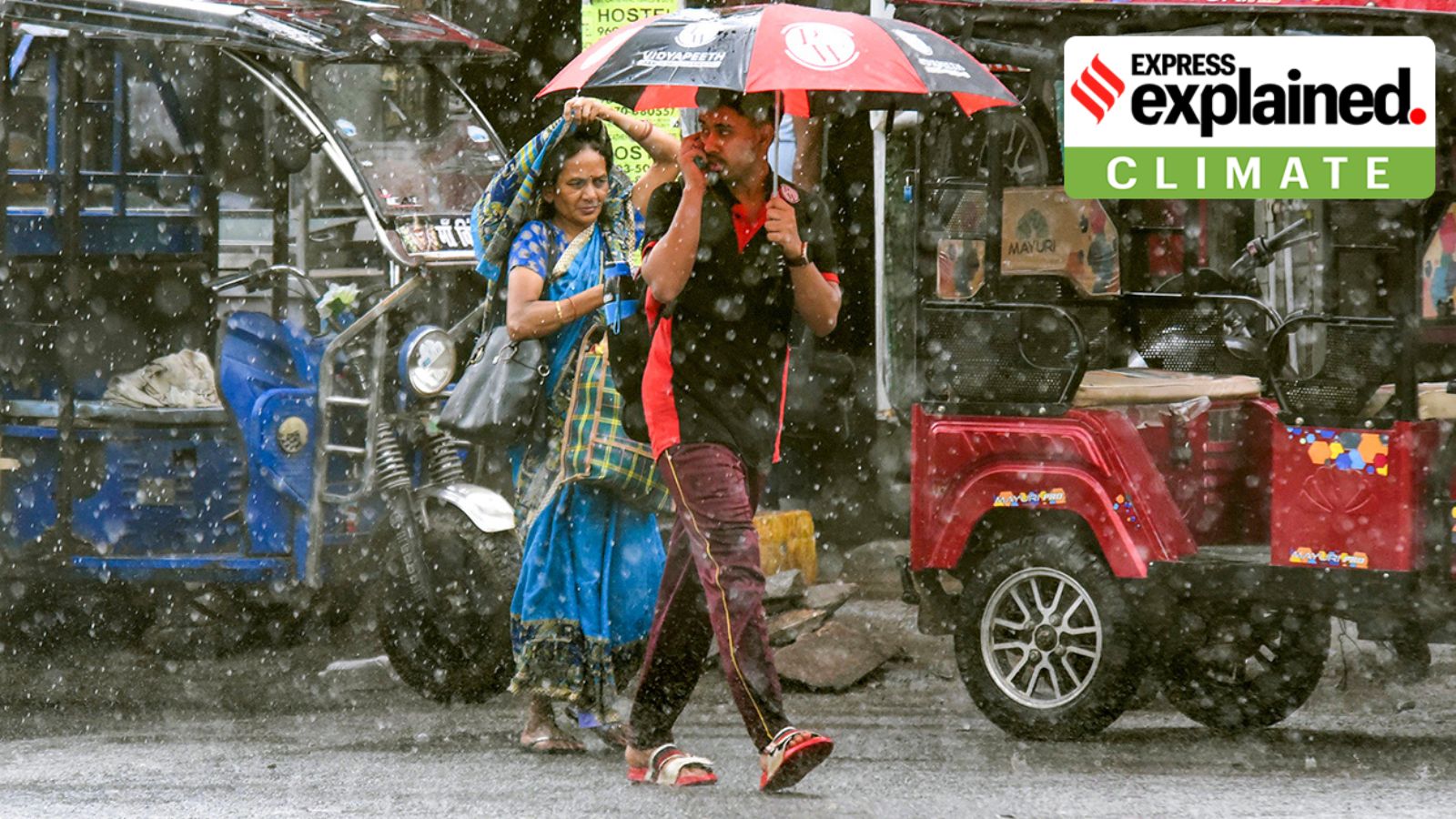
India weather trends May 2025: The summer of 2025 has been unusual so far. High day temperatures, typically reaching between 40 degrees and 45 degrees Celsius, and heatwave days have been largely absent, and May, in particular, has been exceptionally wet in many parts of the country — with thunderstorms accompanied by heavy rain and, in some cases, hail.
TEMPERATURE: No record-breaking temperatures have been reported from any part of the country from the beginning of March until May 18 this year, the India Meteorological Department (IMD) has said.
In March, maximum temperatures remained higher than normal over Central India, but the rest of the country experienced normal temperatures.
In April, parts of Maharashtra, Odisha, and Jammu and Kashmir saw one or two short heatwave spells, and some longer episodes and above-normal heatwave days prevailed over Gujarat and Rajasthan.
But as a whole, the country’s Core Heatwave Zone (CHZ) — spanning Central, North, and Peninsular India between Gujarat and West Bengal, which is prone to heatwave conditions every year from March to June and occasionally in July — has not as yet experienced a significant heatwave episode this summer.
A cooler-than-usual summer over large geographical areas of the country has contributed to keeping all-India average temperatures within the normal range.
RAINFALL: Overall, Southern Peninsular India has benefited from intermittent spells of rain throughout the ongoing pre-monsoon season.
This trend was observed in April over the Central Indian region. (See box).
Why this trend this year
The primary reason for a wetter- and cooler-than-usual summer so far has been the frequent passage of streams of western disturbances in the lower latitudes. Western disturbances are eastward-bound winds that originate in the Mediterranean Sea and cause rain or snow along their way. There were four such episodes in March and April, and there have been two in May so far.

There has also been a continuous incursion of moisture from the Bay of Bengal and Arabian Sea into the Indian mainland, with the subsequent wind interactions causing rainfall and thundershowers.
Following a thunderstorm event, the maximum temperature generally falls by 5-7 degrees Celsius.
An especially wet May
The month of May usually sees higher-than-normal temperatures, with North, Northwest and Central India experiencing heatwave conditions.
This May, however, a heatwave has been reported on only one day — May 1 — and it has been limited to pockets of southwest Rajasthan, the IMD has said.
In fact, May this year has been exceptionally wet over the South and Central Indian regions.
Consecutive western disturbances during May 2-3 and May 3-7 led to prolonged wet spells accompanied by severe thunderstorms over Rajasthan, Madhya Pradesh, Saurashtra-Kutch, Gujarat, Haryana, Delhi, Gangetic West Bengal, Uttarakhand, Kerala, Mahe, Tamil Nadu and Puducherry.
Over the past three weeks, Northwest India has experienced thunderstorms resulting in above normal rainfall and normal or below normal maximum temperatures.
The weekly all-India rainfall (May 2-8) stood at a 20% surplus. As a result, the maximum temperatures over the West, Central, and Eastern Indian regions dropped by 2-5 degrees Celsius below normal.
In addition, below normal minimum temperatures (departure 1-3 degrees Celsius) were recorded over the East and Central India regions, the IMD has said.
In the week May 8-14, rainfall activity continued as a result of the May 8-13 western disturbance. The continuing moisture supply from the seas brought ample rainfall, lowering temperatures over Tripura, Meghalaya, Assam, Arunachal Pradesh, West Bengal, Sikkim, Saurashtra, Kutch, Konkan, Goa, South Interior Karnataka, Kerala, Tamil Nadu, Mahe, Rayalaseema, Chhattisgarh, Madhya Pradesh and Odisha.
The southwest monsoon advanced into parts of the Andaman and Nicobar Islands, the Andaman Sea, and some areas of the Bay of Bengal during the week. The weekly all-India rainfall remained 35% above normal.
Last week, the all-India weekly average maximum temperature was 3-5 degrees Celsius below normal over West, Central, and North India. Normal temperatures prevailed over remaining parts of the country.
The minimum temperatures fell 1-3 degrees Celsius below normal over the West and Central Indian regions.
Outlook going forward
Even though normal or below temperatures and above normal rainfall have been recorded for the majority of days in May, the IMD has said there is a likelihood of the development of heatwave conditions over Northwest India towards the end of the month. Rajasthan and Haryana will experience a heatwave until May 23.
Summer over North and Northwest India extends well into June and its end is marked by the onset of the southwest monsoon during the latter half of June or in early July.
However, this year, the southwest monsoon is expected to hit the Kerala coast – considered the official onset of the southwest monsoon over India – on May 27. While onset is not an indicator of the future advance of the monsoon, if weather conditions are favourable, the possibility of a normal advance of the monsoon and an early onset over the country as a whole cannot be ruled out.