Journalism of Courage

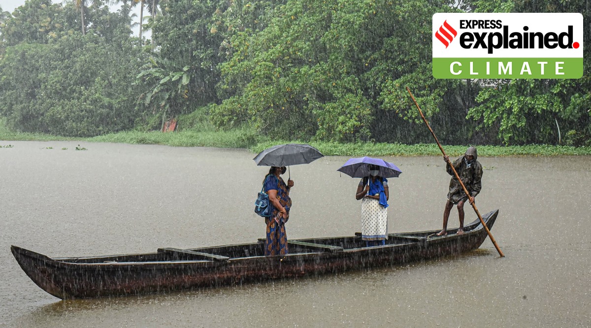 A boatman ferries passengers ashore during monsoon rains, in Kochi (PTI Photo)
After experiencing poor rainfall in June and July, almost three-fourth of Kerala is experiencing heavy showers this month, with several areas on the brink of flooding.
With the state government declaring closure of all schools Tuesday, there is a fear among locals of a 2018 redux when the state had witnessed its worst deluge in almost a century.
Kerala is presently under the influence of at least three rainfall triggering weather conditions.
There are strong Westerly winds flowing-in from the Arabian Sea, and bringing moisture over Kerala.
Another major cause for an increase in rainfall is the presence of an east-west shear zone located 10 degrees north over the southern peninsula. This vertical zone — that can prevail either in the lower, middle or upper atmospheric levels — allows active winds of high speeds to interact. This zone also allows monsoon winds to remain active, thus causing intense rainfall over the area under its influence.
The IMD further stated that the presence of a north-south trough running between Chhattisgarh and Comorin areas, which is located closer to south Kerala is causing widespread rainfall.
“These three factors are causing heavy spells over Kerala. The monsoon will remain active over the state during the next three to four days,” said an official from the Meteorological Centre, Thiruvananthapuram.
On Tuesday morning, the Central Water Commission (CWC) issued an alert to downstream areas of Manimala river in Kottayam district. The river was flowing above the danger mark of 97.915 metres.
The southwest monsoon hit Kerala three days ahead of schedule on May 29.
In June, Kerala received 308.6 mm rain (a deficit of 52 per cent) followed by 961.2mm (26 per cent deficit) in July.
The current spell is likely to bring isolated heavy rainfall over most of the 14 districts during the next four to six days and it could help reduce the existing rainfall deficiency by small margins.
Since August 1, extremely heavy spells of rain have been recorded over Thrissur district with the 24-hour rainfall in Enamakkal being 225.6 mm, followed by Kodungallur (210 mm), and Chalakudy (213 mm).
Other high-rainfall areas across the state were located in Idukki, Ernakulam, Kottayam and Kollam districts. These include Aluva (184 mm), Peerumedu (154.4 mm), Piravom (146 mm), Kochi (138.2 mm), Thodupuzha (113.2 mm) , Aryankavu (95 mm), Kanjirapally (85.4 mm) and Munnar (70.6 mm).
Kerala is among India’s high rainfall receiving states and records an annual rainfall of 2855 mm.
Of the rainfall received during monsoon season, July and June rainfall accounts for 32.9 per cent (642.7mm) and 32.6 (637.2mm) per cent, respectively. In comparison, only 21 per cent (414 mm) of the seasonal rainfall of the state occurs in August.
Scientists have noted a declining trend in the annual rainfall quantum over Kerala, but not so during the monsoon season. Kerala receives nearly 70 per cent of its annual rainfall during June to September.
“But there has been a significant variation in the rainfall distribution within the monsoon season,” said Mrutyunjay Mohapatra, Director General, IMD.
This was corroborated in a study on rainfall variability over Kerala, undertaken by Climate Research and Services of IMD, Pune.
The study found a declining rainfall trend during June and July as compared to an increase in rainfall during August and September over the past three decades.
“But long-term rainfall trends indicate a significant increase in the heavy rainfall (64.5mm to 115.4 mm in 24 hours) during August. Likewise, there has been a rise in extremely heavy rainfall (more than 204.4 mm in 24-hours) events during the four-month monsoon season,” said VK Mini, senior forecaster at IMD, Thiruvananthapuram.
Locally, Thiruvananthapuram, Idukki, Pathanamthitta, Kasargod and Wayanad districts showed the largest rainfall variability during 1989 – 2018. It ranged between 47 – 69 per cent depending on the month.
Officials from the India Meteorological Department say that monsoon will be “vigorous” over Kerala till August 5. The rainfall activity will gradually shift from the southern to northern districts, they add.
“There has been a swift northward movement of this shear zone. The heavy rainfall activity will move towards northern districts during the next two to three days,” said D Sivananda Pai, Director, Institute of Climate Change Studies, Kottayam.
In view of these multiple weather conditions, IMD has placed Thiruvananthapuram, Kollam, Pathanamthitta, Alappuzha, Kottayam, Ernakulam and Idukki districts on red alert (warning) till Wednesday. Thereafter, the rainfall will shift towards central and northern districts with the same alert over Thrissur, Palakkad, Malappuram, Kozhikode and Wayanad districts. For August 5, Kannur, Kasargod and Wayanad districts join the list of existing red alert districts.