Journalism of Courage

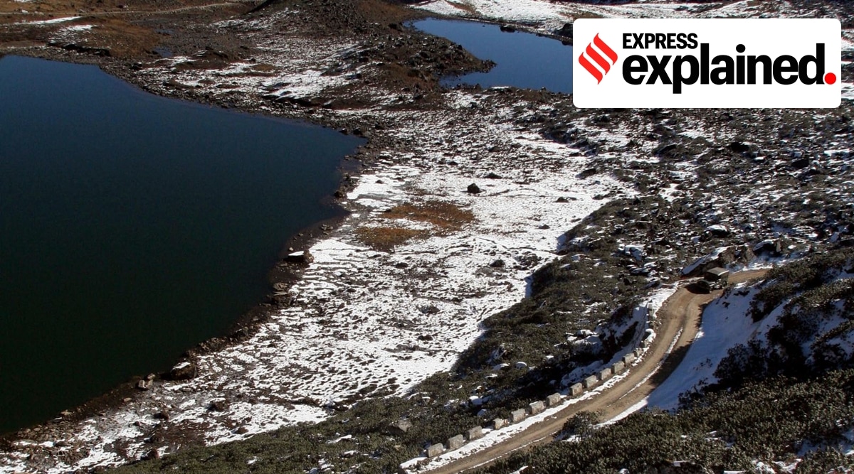 A view of the road on the way to the Line of Actual Control, at the India-China Border in Tawang, Arunachal Pradesh. (AP/File Photo)
 Two United States Senators, a Republican and a Democrat, have introduced a bipartisan resolution in the upper chamber of Congress reiterating that the US recognises the McMahon Line as the international boundary between China and India in Arunachal Pradesh, PTI reported.
The resolution reaffirms India’s well-known and established position that Arunachal Pradesh, which China calls ‘South Tibet’, is an integral part of India.
“At a time when China continues to pose grave and gathering threats to the Free and Open Indo-Pacific, it is critical for the United States to stand shoulder-to-shoulder with our strategic partners in the region, especially India,” Bill Hagerty, the Republican junior Senator from Tennessee who, along with Jeff Merkley, the Democratic junior Senator from Oregon, introduced the resolution, said on Tuesday.
“This bipartisan resolution expresses the Senate’s support for unequivocally recognising the state of Arunachal Pradesh as an integral part of India, condemning China’s military aggression to change the status quo along the Line of Actual Control, and further enhancing the US-India strategic partnership and the Quad in support of the Free and Open Indo-Pacific,” Hagerty added.
The McMahon Line serves as the de facto boundary between China and India in the Eastern Sector. It specifically represents the boundary between Arunachal Pradesh and Tibet, from Bhutan in the west to Myanmar in the east.
China has historically disputed the boundary and claims the state of Arunachal Pradesh as part of the Tibetan Autonomous Region (TAR).
The McMahon Line was drawn during the Simla Convention of 1914, officially described as the Convention Between Great Britain, China, and Tibet. China was represented at the convention by the government of the Republic of China, which was in power in the mainland from 1912 to 1949, when its leaders were driven to the island of Taiwan during the civil war that established the communists in Beijing and led to the proclamation of the People’s Republic.
The McMahon Line delimited the respective spheres of influence of Tibet and British India in the eastern Himalayan region in what is today India’s Northeast and northern Myanmar. The border in this region was undefined prior to the signing of the convention.
 The original drawings of the McMahon Line with signatures of British and Tibetan plenipotentiaries. (Wikimedia Commons)
After the first Anglo-Burmese War (1824-26), the British gained almost complete control over the Assam Valley. From there, the British expanded their influence outwards in the predominantly tribal lands across the Northeast. For long, these tribal lands acted as a buffer between British India and Tibet.
By the time the 20th century dawned, Chinese influence over Tibet had significantly waned and the British were wary about Tibet falling into the Russian sphere of influence. In an effort to preclude Russian influence, the British led an expedition into Tibet and signed the Convention of Lhasa in 1904.
At the same time, alarmed at Britain’s growing influence in the region, China, at the fag end of Qing rule, also invaded, taking control of the southeastern Kham region. Notably, the Chinese campaign encroached upon the tribal regions north of the Assam Valley, pushing British officials to advocate extending British jurisdiction into the tribal territory.
The convention attempted to settle the question of Tibet’s sovereignty and avoid further territorial disputes in the region. The Tibetan government in Lhasa was represented by its plenipotentiary Paljor Dorje Shatra, and Britain by Sir Arthur Henry McMahon, foreign secretary of British India at Delhi. The Chinese plenipotentiary was Ivan Chen.
The treaty divided the Buddhist region into “Outer Tibet” and “Inner Tibet” – the former would “remain in the hands of the Tibetan Government at Lhasa under Chinese suzerainty”, though China was not allowed to interfere in its affairs. The latter would be under the direct jurisdiction of the newly formed Republic of China. In its annexes, it also determined the border between China proper and Tibet as well as Tibet and British India.
 Simla Conference, October 1913. Seated, from left to right: Wangchuk Tsering, BD Bruce, Ivan Chen, Sir Henry McMahon, Longchen Shatra, Trimon and Tenpa Dhargay. Behind, standing, on McMahon’s left Archibald Rose and on his right Charles Bell. (Wikimedia Commons)
The latter of these newly decided boundaries would later be called the McMahon Line after McMahon, the chief British negotiator. While a draft convention was agreed upon by all three countries on April 27, 1914, China immediately repudiated it.
The final convention was only signed by McMahon on behalf of the British government and Shatra on behalf of Lhasa. Ivan Chen did not consent to the convention, arguing that Tibet had no independent authority to enter into international agreements.
The 890-km border from the corner of Bhutan to the Isu Razi Pass on the Burma border was drawn largely along the crest of the Himalayas, following the “highest watershed principle”. This principle, considered to be the most logical way of drawing borders in mountainous regions by the British, basically drew the border along the highest ridge between two river plains.
However, exceptions were made. Notably, Tawang, which would have been a part of Tibet had this principle been uniformly implemented, was included in British India due to its proximity to the Assam Valley.
As the War of 1962 would show, capturing Tawang would give an invading Chinese army easy access to the valley in the south, affirming McMahon’s decision to include Tawang under British jurisdiction. This inclusion was contested by Tibet for years, even though the border remained porous, and Lhasa still held some sway in the region.
While there were disputes regarding the McMahon line from the very beginning, after the communists took power in 1949, they pulled China out of all international agreements and the so-called “unequal treaties” that had been imposed on it during its “century of humiliation”, and demanded a renegotiation of all its borders.
During the 1962 Sino-Indian War, China was able to quickly overpower India and make deep inroads into Indian territory across the McMahon Line. However, its forces retreated to pre-war positions after the unilateral ceasefire was announced on November 21.