Journalism of Courage

 MJO resulted in about 20 days of very good rainfall in most parts of the country.
Both El Nino and MJO are ocean-atmosphere interactions that occur in the equatorial region and influence a number of weather events worldwide, including the Indian monsoon.
El Nino, the unusual warming of sea-surface Pacific waters off the South American coast, is a stationary system. The MJO, on the other hand, is a moving system of wind, cloud and pressure that brings rain as it circles around the equator.

There is evidence that the two phenomena are correlated. Thus, strong MJO activity, like this year, is witnessed in a year of strong El Nino. A strong El Nino year — the strength being a measure of increase of temperature of sea surface water — is generally associated with a bad monsoon, though the correlation is not exclusive. Exactly how it impacts the monsoon is not fully understood.
The MJO is even lesser understood. The phenomenon takes its name from the two scientists who identified it in 1971 — Roland Madden and Paul Julian, who then worked at the National Centre for Atmospheric Research in Boulder, Colorado. A disturbance of clouds, wind and pressure, moving eastward at a speed of 4-8 metres per second, MJO goes around the globe in 30-60 days on average. Sometimes, it can take 90 days.
As it moves, strong MJO activity often splits the planet in to two — one in which the MJO is in active phase and brings rainfall, and the other in which it suppresses rainfall. In the active phase, MJO results in more than average rainfall for that time of the year, while in the suppressed phase, the area receives less than average rainfall.
An active phase is generally followed by a weak or suppressed phase, in which there is little MJO activity. Three active MJO periods are witnessed every year on average.
The effect of the MJO is witnessed mainly in the tropical region, in the band between 30 degrees North and 30 degrees South of the equator, even though the mid-latitude regions in both hemispheres also feel its impact. India falls in this band. Because the MJO cycle lasts only 30-60 days, there can be multiple MJO events in a season.
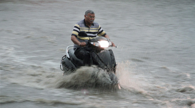
In the tropics, MJO in its active phase brings frequent cyclonic activity, and can initiate the onset of the monsoon. It causes one or two weeks of intense rainfall, as was witnessed in India in June.
An active MJO was passing through the Indian Ocean during that time. It resulted in about 20 days of very good rainfall in most parts of the country. June has ended with more than 15 per cent excess rainfall, defying forecasts of a dry month. The MJO moved away from the region around June 25, and almost immediately, rainfall activity in many parts of the country subsided considerably. (Refer to chart above)