Latest Comment
Post Comment
Read Comments

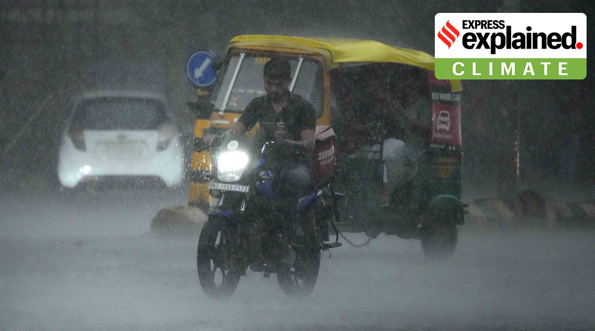 A man rides a bike in the rain in Ahmedabad, India, Saturday, Sept. 10, 2022. (AP Photo/Ajit Solanki)
The Australian Bureau of Meteorology on Tuesday (September 13) confirmed the occurrence of La Niña phenomenon for the third consecutive year in the Pacific Ocean. The World Meteorological Organisation (WMO) on August 31 had stated that the oceanic and atmospheric phenomenon would last until at least the end of the year, and for the first time this century, span three consecutive northern hemisphere winters to become a ‘triple dip’ La Nina.
The WMO predicted that the current La Nina, which began in September 2020, would continue for six months, with a 70 per cent chance of lasting till September-November 2022, and 55 per cent chance of lasting till December-February 2022/2023.
“It is exceptional to have three consecutive years with a la Niña event. Its cooling influence is temporarily slowing the rise in global temperatures – but it will not halt or reverse the long-term warming trend,” said WMO Secretary-General Prof Petteri Taalas.
The current La Ninã phase has been prevailing since September 2020. Since the 1950s, La Ninã lasting for more than two years has been recorded only on six instances, data by the India Meteorological Department shows.
El Nino and La Nina, which mean ‘the boy’ and ‘the girl’ in Spanish, are mutually opposite phenomena, during which an abnormal warming or cooling of sea surface temperatures is observed in the Pacific Ocean along the equator, off the coast of South America. Together they constitute what is known as the El Niño-Southern Oscillation system, or ENSO for short.
ENSO conditions can alter both temperatures and rainfall globally, due to their strong interference on global atmospheric circulations.
It is a recurring phenomenon and the change in temperature is accompanied by changes in the patterns of upper and lower level winds, sea level pressure, and tropical rainfall across the Pacific Basin.
Normally, El Nino and La Nina occur every four to five years. El Nino is more frequent than La Nina.
El Niño years in India have witnessed extreme heat and below normal rainfall levels during monsoon, even though El Niño might not be the only factor or even have direct links to them. In 2014, a El Niño year, India received 12 per cent deficient rainfall from June to September.
On the other hand, La Nina years are known to favour the Indian summer monsoon. This year, India has received 740.3 mm of rainfall, quantitatively 7 per cent higher than the seasonal average till August 30. Among the 36 states and union territories, 30 have received rainfall that is categorised as either ‘normal,’ ‘excess’ or ‘large excess.’
Uttar Pradesh, Manipur (-44 per cent each), and Bihar (-39 per cent), however, remain the worst affected states this season.
“The continuing La Niña is a good sign for the Indian monsoon. The monsoon rainfall, so far, has been good except in Uttar Pradesh, Bihar and neighbouring areas,” M Rajeevan, former secretary of the Ministry of Earth Sciences (MoES), told The Indian Express earlier.
Rajeevan had termed the continuing La Nina as “abnormal”, and said, “It is surprising that it has continued for the last three years. It may be good for India but not for some other countries.” The former MoES secretary had also noted that “under climate change conditions, one must expect more such instances”.
Climate change could be a driving factor behind such uncommon conditions. El Niño has been associated with rising heatwaves and extreme temperatures, such as in parts of the US, Europe and China recently.
India’s Northeast monsoon rainfall remained subdued during past La Niña events, but the 2021 monsoon remains an exception in recent years, Rajeevan had pointed out. In 2021, the southern Indian peninsula experienced its wettest recorded winter monsoon since 1901, receiving a whopping 171 per cent surplus of rainfall between October and December, IMD data stated.
Intense hurricanes and cyclones have frequently occurred in the Atlantic Ocean and the Bay of Bengal during La Nina years.
Over the North Indian Ocean as well, the chances of an increased number of cyclones are due to multiple contributing factors, including high relative moisture and relatively low wind shear over the Bay of Bengal.
The post-monsoon months, from October to December, are the most active months for cyclonic developments over the North Indian Ocean, with November as the peak for cyclonic activity.