© The Indian Express Pvt Ltd

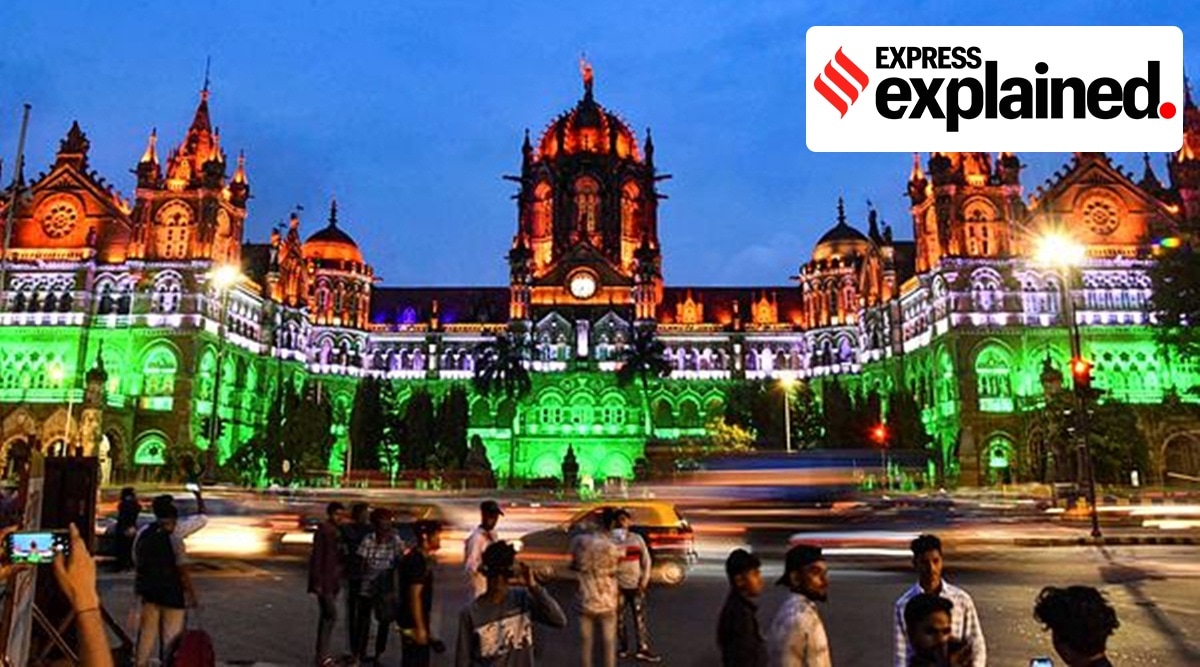 Chhatrapati Shivaji Maharaj Terminus (CSMT) building illuminated with the tricolor as part of 'Azadi ke Amrit Mahotsav', in Mumbai, Monday, July 18, 2022. (PTI Photo)
The Brihanmumbai Municipal Corporation (BMC) has started the process of creating a three-dimensional digital model of Mumbai city after trying the project on pilot basis for South Mumbai’s Worli area in September last year. What is 3D mapping, and why is the BMC undertaking the project?
The process of 3D mapping will create a digital map of Mumbai’s buildings, roads, bridges, underpasses, water bodies, modes of transport, traffic islands apart from its open spaces, civic amenities and slums. This map will have a 360-degree panoramic street view.
This is the first time the project is being done pan-Mumbai. In September 2021, BMC completed 3D mapping of the Worli area, largely covered under the G/South administrative ward of the civic body.
While Mumbai city is approximately 480 sq km, the project will be undertaken for an area of approximately 500 sq km, considering buffer space required while using mapping tools.
The civic body has invited a request for proposal (RFP) for the project, welcoming ideas from consultants and experts to refine the scope of the project. It will then appoint a third party as a contractor to carry out the project with a timeline of 18 months. As part of the project, BMC will also map changes in the city year-on-year for the next three years once the project is live.
Highlighting the uses of the project, BMC in its request for proposal has said, “While the world we live in is 3-dimensional in nature, planning and development activities encompassing urban governance, city infrastructure upgrades are still being carried out on 2D maps. To meet the demands of cities in the 21st century, it is imperative that urban governments can visualise cities in 3D for comprehensive 360-degree views, undertake simulations and conduct detailed analysis on the data, all of which is inefficient and close to impossible on archaic 2D maps.”
The 3D map will be uploaded on to a private cloud by the civic body, which can then be used by the administration for infrastructure and development planning, disaster management and response mobilisation, and environment analysis. Change detection can be used for finding unauthorised development.
Since it is a ‘digital twin’ of Mumbai city, created in real time, it will enable simulations for gauging impact areas of projects, disasters, and urban governance interventions.
The BMC will also run simulations for scenarios such as disaster management, work of the Mumbai fire brigade, planning on existing roads and bridges, estimation and collection of property tax, development planning, and encroachment detection.
Surveys which will create the map include aerial photogrammetry, which enables mapping of distances and measurements between objects; Light Detection and Ranging (LiDAR) survey; and change detection with the help of geospatial technology, which includes use of geographic information system (GIS), remote sensing (RS) and global positioning system (GPS).