Journalism of Courage

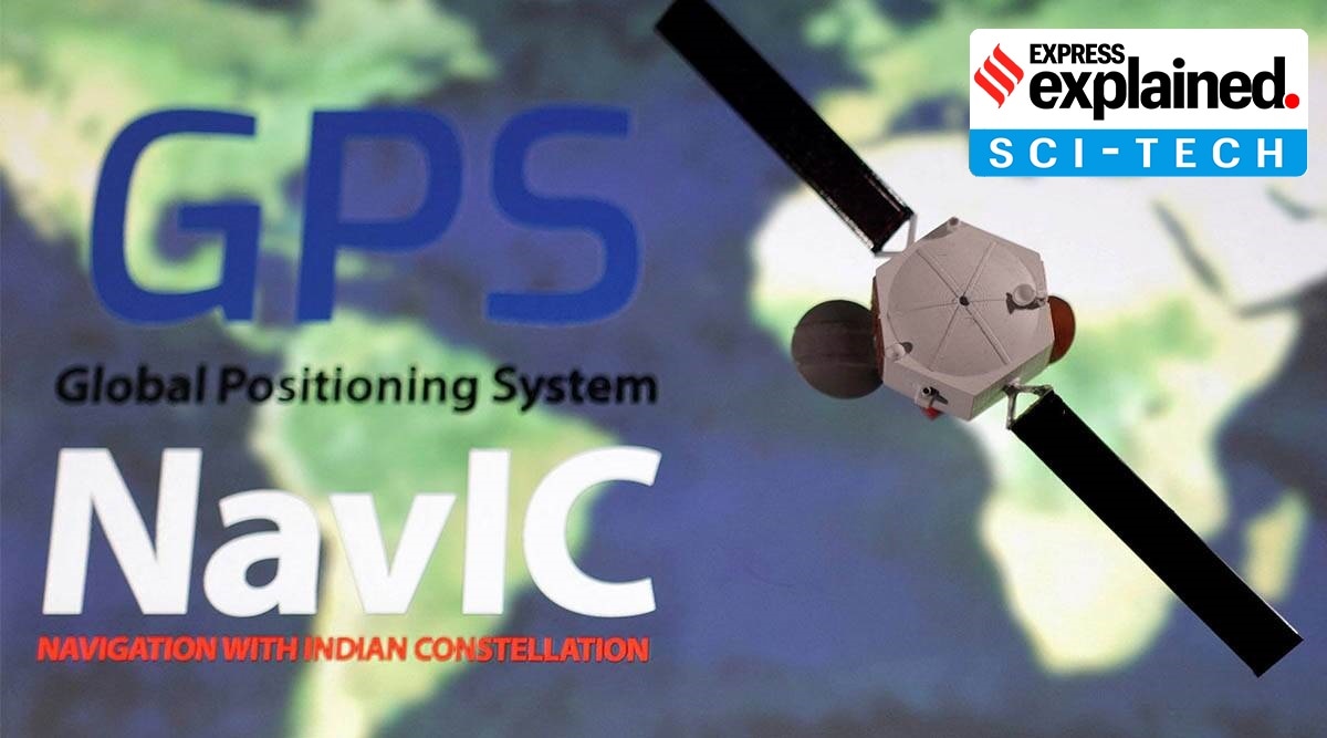 The government has said NavIC is as accurate as GPS. (File photo)
 To promote the use of ‘NAVigation with the Indian Constellation’ (NavIC), the Indian version of GPS, the Indian Space Research Organisation (ISRO) will introduce the L1 frequency in all its future satellites, Jitendra Singh, Union Minister of State for the Department of Space, said in Parliament recently.
What is the L1 frequency, and how will it help the use of NavIC? How accurate is NavIC when compared with GPS? We explain.
What exactly is ISRO doing
Singh in a written reply in Parliament on Wednesday said, “The next satellites, starting from NVS-01 onwards, will have an L1 band for civilian navigational use.”
The seven satellites in the NavIC constellation so far use two frequencies for providing positioning data — the L5 and S bands. The new satellites NVS-01 onwards, meant to replace these satellites, will also have L1 frequency. The L1 is the oldest and most established GPS signals, which even the less sophisticated, civilian-use devices such as smartwatches are capable of receiving. Thus, with this band, the use of NavIC in civilian-use gadgets can go up.
And what is NavIC?
NavIC is India’s homegrown alternative to GPS. Developed by ISRO, the navigation satellite system was first approved in 2006 at a cost of $174 million, but became operational only by 2018. At present, it consists of eight satellites, covering the whole of India and up to 1,500 km from its boundaries.
The government has said NavIC is as accurate as GPS. Singh, in his reply to Parliament, reiterated that the “performance of NavIC system is on par with the other positioning systems”.
Where is NavIC being used right now?
As reported by The Indian Express, NavIC is mainly being used in public vehicle tracking, to provide emergency warning alerts to fishermen venturing into the deep sea, and for tracking data related to natural disasters.
The government is also pushing for its increased use in smartphones. In fact, in September, Reuters had reported that the government urging tech giants to make smartphones compatible with NavIC had “worried the likes of Samsung, Xiaomi and Apple, who fear elevated costs and disruptions as the move requires hardware changes.” According to the report, the government wanted that smartphones support NavIC as well as GPS by January 2023, which phone makers had said was a very stiff deadline to meet.
Advantages of NavIC
To put it briefly, the government says that India should not rely on positioning systems run by other governments, which are at the risk of suspension for civilians in times of crises. Also, NavIC, since it is homegrown, will be more accurate than other systems.
In fact, as reported by The Indian Express, with a fully operational constellation and ground stations outside of India — ISRO plans to set up ground stations in Japan and France to better triangulate the entire area under NavIC coverage – the system is likely to become more accurate than GPS. The satellites placed directly over India also ensure better availability of signals in varied geographical regions compared to GPS, which India receives at an angle, making it difficult to access in dense forests or valleys.
Apart from the US-owned GPS, the other prominent navigation systems are Galileo from the European Union, Russia-owned GLONASS and China’s Beidou. QZSS, operated by Japan, is another regional navigation system covering Asia-Oceania region.