Journalism of Courage
Premium
This is an archive article published on April 22, 2022
Google Maps collaborates with BMC to provide real-time updates on road closures, diversions
According to the officials, the initiative will help commuters save time and plan their journey accordingly as now they will have access to the latest updates on road closures and available alternate routes on Google Maps.

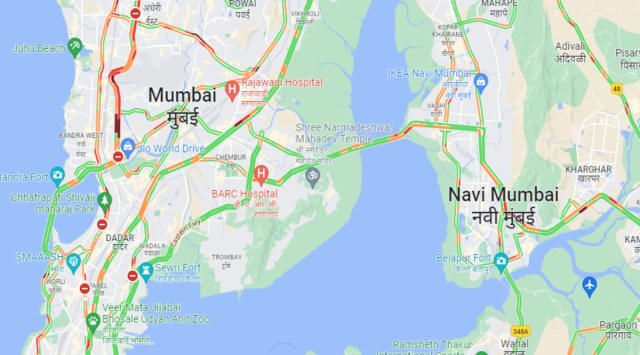 The information on ongoing construction and repair works will be collected by the BMC and will be shared with Google Maps. (Photo: Google Maps)
To ease commuting in the city, Google Maps in collaboration with the Brihanmumbai Municipal Corporation (BMC) will now provide citizens with real-time updates on temporary road closures or diversions.
Currently, several works of road repairs, storm water drain improvements, footpath improvement, repairs of bridges are going on across the city that led to closure or diversion of several roads.
According to the officials, the initiative will help commuters save time and plan their journey accordingly as now they will have access to the latest updates on road closures and available alternate routes on Google Maps. The pilot project conducted on this was successful, the civic body said.
The information on ongoing works will be collected by the BMC and it will be shared with Google Maps. Following which the updated information will be visible on the map within 24-hours.
“With several infrastructure development projects being carried out across Mumbai, and with citizen centric approach, BMC’s Information Technology department felt it was important to facilitate a seamless platform for its various teams at wards and departments such as roads, sewerage, storm water drain, etc. so that they can update the latest information on Google Maps itself. This will help in getting almost near real-time, and in easy and accurate updates,” the BMC said in a statement issued on Friday.
“Google Maps are accordingly updated within a few minutes once information is shared from our designated Single Point Of Contact (SPOC),” an official from the IT department said.
Officials added that from the coming week, all teams across the organization will start sharing the required updates. The map will also show relevant details like the cause of temporary road closure or diversion, the expected duration, etc.
Story continues below this ad
Besides BMC, this platform can be extended to include information from other authorities who carry out road related developmental and monitoring works in the city, such as MMRDA, Traffic Police, etc.
Advertisement
Top Stories


Live Blog
Loading Taboola...
Advertisement