Stay updated with the latest - Click here to follow us on Instagram
Journalism of Courage

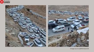
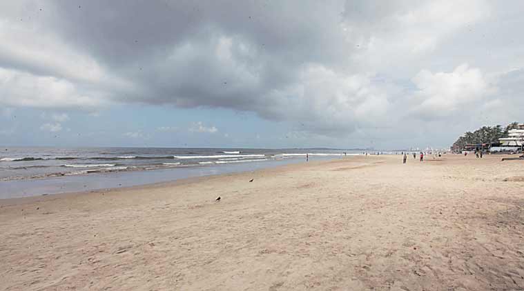 In Maharashtra, of the total coastal length of 742.26 km, 449.5 km is under erosion. (Express Photo)
A massive 60 per cent of the state’s shoreline is under erosion, reveals an assessment of areas along the Indian coast using satellite data of 1989-1991 and 2004-2006 frames.
The results of the study, published in the latest edition of the Current Science journal, show that 3,829 km or 45.5 per cent of the Indian coast is under erosion, 3,004 km (35.7 per cent) is getting accreted, while 1,581 km (18.8 per cent) of the coast is more or less stable in nature.
In Maharashtra, out of the total coastal length of 742.26 km, 449.5 km (60.55 per cent) is under erosion, 244.47 km (32.93 per cent) in under accretion, and just 48.29 km (6.50 per cent) of the coastal length is stable.
“The long stretch of coastline on either side of the Indian peninsula is subjected to varied coastal processes and anthropogenic pressures, which makes the coast vulnerable to erosion. There is no systematic inventory of shoreline changes occurring along the entire Indian coast on 1:25,000 scale, which is required for planning measures to be taken up for protecting the coast at the national level. It is in this context that shoreline change mapping on 1:25,000 scale for the entire Indian coast based on multi-date satellite data in GIS environment has been carried out,” says the paper in the journal, published in collaboration with the Indian Academy of Sciences.
The authors are from Space Applications Centre, Indian Space Research Organisation, Ahmedabad, Central Water Commission, Ministry of Water Resources, New Delhi and Central Water Commission, Ministry of Water Resources, Kochi.
According to experts, coastal habitats such as mangroves, coral reefs and lagoons are recognised as the best defence against sea storms and erosion, deflecting and absorbing much of the energy of sea storms and hence it is important to maintain these natural habitats for shore protection and for environmental conservation. The experts have also said human activities that remove or degrade protective landforms – removing beach sands, weakening coral reefs, bulldozing dunes or destroying mangrove swamps — diminish the degree of natural protection.
The authors have said that while assessing the percentage-wise distribution of shoreline length under erosion, accretion and as stable for individual maritime states and Union territories, Nicobar Islands show the highest percentage of shoreline under erosion (88.7 per cent), followed by Maharashtra and Lakshadweep. For the remaining states, the eroding shoreline length is less than 50 per cent of their total respective shoreline lengths.
Citing examples, the study says that sand mining in Panmana, Kerala and land reclamation in Mumbai along the coast are also crucial “anthropogenic activities” altering the sediment dynamics and triggering coastal erosion. While analysis shows that the Indian coast has lost a net area of about 73 square km during the time frame used for the study, it is 2.75 square km for Maharashtra.
“Goa has the highest percentage of stable shoreline, which is about 52.4 per cent of its total shoreline followed by West Bengal, Gujarat, Andhra Pradesh and Karnataka coasts, having around 20 to 40 per cent as stable coast with respect to their total coastal length. The coast along Maharashtra, Kerala, Odisha, Tamil Nadu, Puducherry, Nicobar Islands, Andaman Islands and Lakshadweep Islands shows less than 10 per cent as stable in general,” says the study.
mihika.basu@expressindia.com
Stay updated with the latest - Click here to follow us on Instagram