Stay updated with the latest - Click here to follow us on Instagram
© IE Online Media Services Pvt Ltd

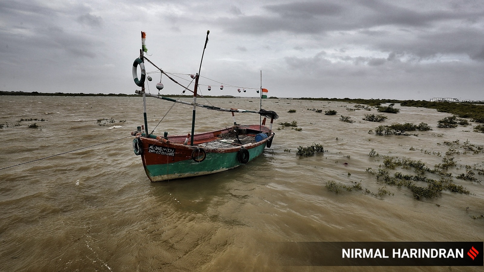 Enhanced rainfall, squally winds and rough sea conditions will prevail over the southwest Bay of Bengal during the next four days. (Representative/ Express file photo by Nirmal Harindran)
The India Meteorological Department (IMD) has forecast a cyclonic storm, Cyclone Michaung, over the southwest Bay of Bengal on December 3, which is likely to make landfall in the coastal districts of Tamil Nadu and Andhra Pradesh the next day.
An ‘orange’ alert has been issued over Tamil Nadu, as well as coastal and interior Andhra Pradesh for Sunday and Monday by the IMD.
Enhanced rainfall, squally winds and rough sea conditions will prevail over the southwest Bay of Bengal during the next four days, the Met department said.
Here is all you need to know about the Cyclone Michaung:
A low-pressure area in the Bay of Bengal intensified into a depression on Friday and is likely to become a cyclonic storm, named Cyclone Michaung, on December 3 (Sunday), according to the IMD.
Cyclone Michaung is expected to cross India's eastern coast between Machilipatnam in south Andhra Pradesh and Chennai in north Tamil Nadu on the evening of December 4 (Monday), the IMD said.
At 5:30 am on Friday, the system lay centred over the sea about 800 km away from Chennai, 970 km from Machilipatnam, 990 km from Bapatla in Andhra Pradesh and 790 km away from Puducherry.
It is likely to continue to move towards the west and northwest, and intensify into a deep depression by December 2, according to the IMD.
No. Cyclone Michaung is not likely to have any impact on Odisha, an official at the Special Relief Commissioner's Office in Bhubaneswar told news agency PTI.
Yes. An ‘orange’ alert has been issued over Tamil Nadu, as well as coastal and interior Andhra Pradesh for Sunday and Monday by the IMD.
Enhanced rainfall, squally winds and rough sea conditions will prevail over the southwest Bay of Bengal during the next four days, the IMD said.
Stay updated with the latest - Click here to follow us on Instagram