© The Indian Express Pvt Ltd

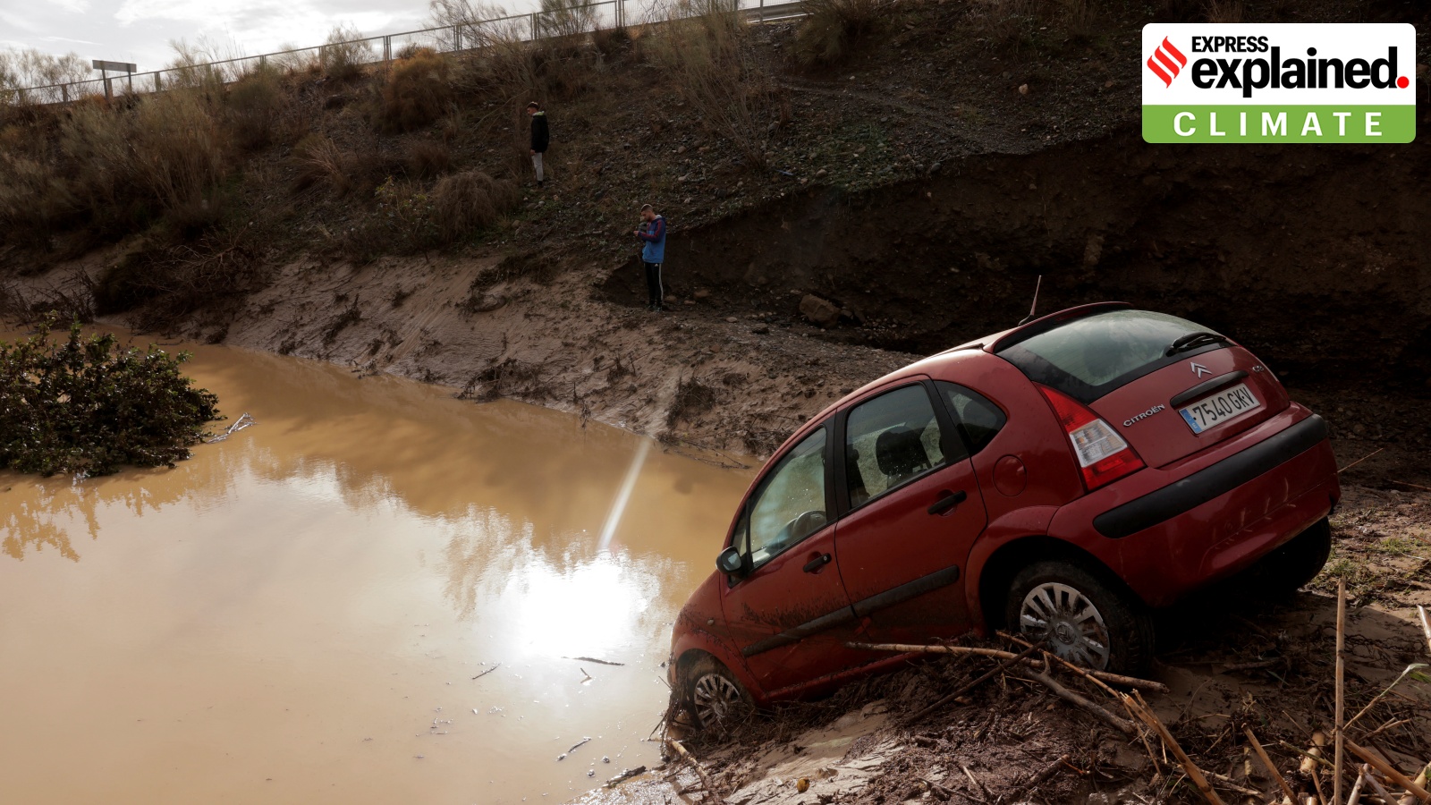 A car stuck in a flooded area after heavy rain in Alora, Spain on Tuesday. REUTERS/Jon Nazca
Millions have been affected in southern and eastern Spain due to torrential rain, which began on Monday (October 28) night and has submerged villages and towns, and cut off roads. Flash floods caused by the immense deluge have led to the death of at least 64 people in the eastern Spanish region of Valencia, authorities said on Wednesday (October 30).
In some areas, more than a month’s worth of rain fell in a day. In Andalusia — the southernmost region of Spain — it was four times the amount of rain that usually falls in all of October, according to a report by The New York Times. The country’s meteorological agency said between 150 and 200 litres per square meter, or roughly 40 to 50 gallons per square yard, fell in some areas over a two-hour period, the report added. The rain is expected to continue until at least Thursday.
The primary cause of the intense rain is likely an annual weather phenomenon known as a “gota fría,” or cold drop. It is also sometimes called a “DANA,” the acronym for “depresión aislada en niveles altos,” or isolated depression at high altitudes.
DANA or cold drop takes place when cold air descends over the warm waters of the Mediterranean Sea. This results in atmospheric instability, causing hotter, moist air on the surface of the sea to rise quickly, leading to the formation of dense, towering cumulonimbus clouds in a matter of hours. These clouds then dump heavy rain in parts of Spain.
The weather pattern’s occurrence is related to the polar jet stream — a fast-moving wind current at high levels of the troposphere (the lowest layer of Earth’s atmosphere) which circulates from west to east and separates the cold polar air from the warm tropical air.
Often, a pocket of cold air gets separated from the polar jet stream and collides with the warmer air over the Mediterranean Sea, which results in DANA.
The phenomenon is a common occurrence in Spain and usually coincides with the onset of autumn and spring in the western Mediterranean.
However, experts suggest that cold drops have become more frequent and intense in recent years. Also, the phenomenon has also become more geographically spread.
Rubén del Campo, a spokesman at Spain’s meteorological agency told the NYT that the rains caused by a cold drop no longer just hit the coast, but also cities like Madrid, “where it is not usual to have this type of abundant rainfall.”
This is happening partly because of soaring global temperatures — warmer air can retain more moisture which, in turn, results in more intense rainfall. The rise in sea surface temperatures of the Mediterranean Sea has also exacerbated the situation. In August, the sea touched its highest-ever recorded temperature.
Miriam Zaitegui Pérez, the Spanish director of the European Climate Foundation, told the NYT, “This [cold drop] is created by cold air interacting with a hotter surface, and the hotter surface is becoming hotter”.