Journalism of Courage
Premium
This is an archive article published on May 22, 2024
Pre-monsoon showers, that pulled down mercury in Karnataka, likely to end in 2 days: IMD
The rainfall, double the normal for the period between May 1 to May 22, came as a relief after Bengaluru experienced its driest April in 41 years.

 According to the Karnataka State Natural Disaster Monitoring Centre, maximum temperature in Bengaluru on the said date was 38.2 degree Celsius. (File Photo)
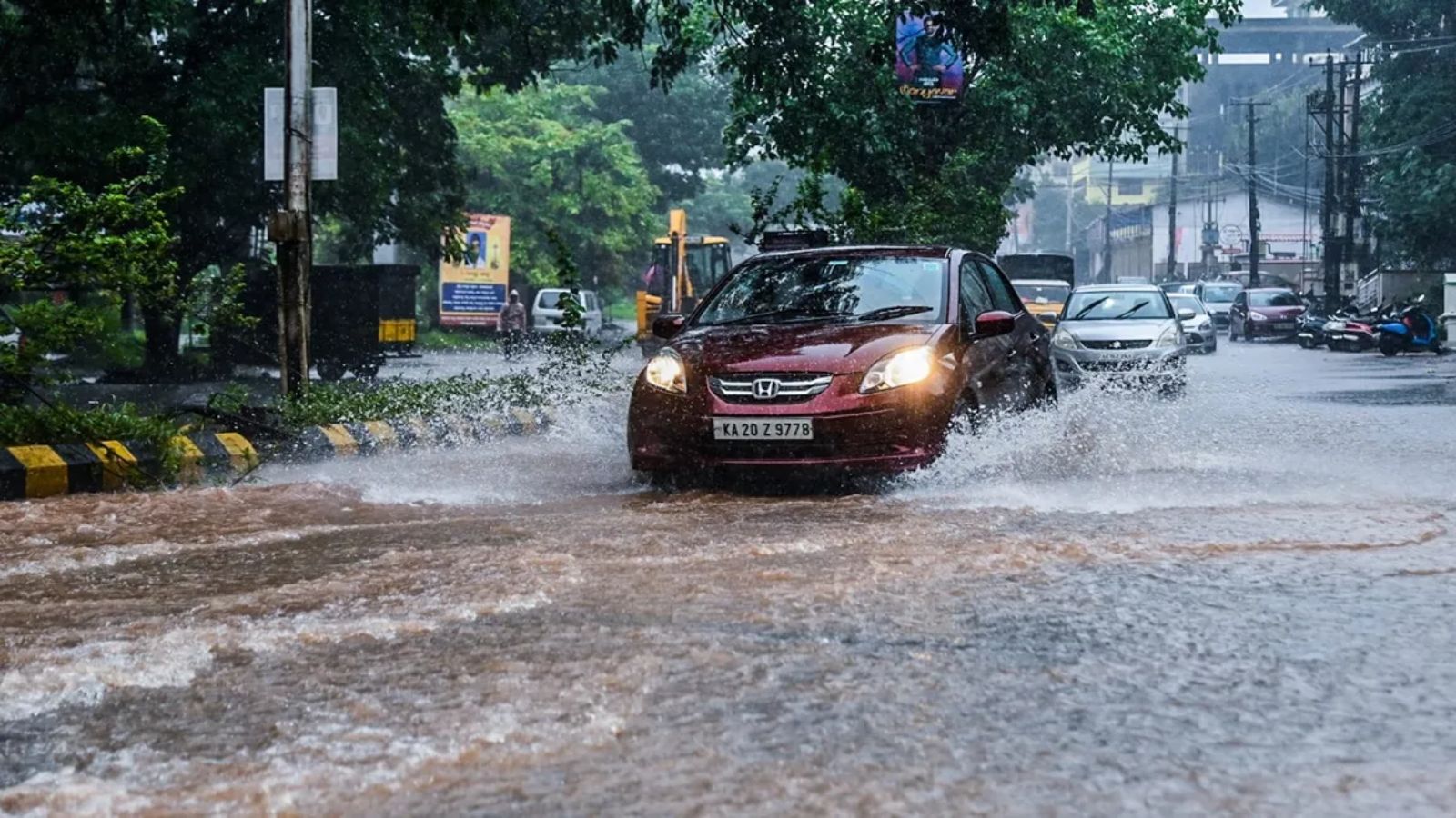
The spell of summer showers that brought down the soaring temperatures by five to seven degrees in Bengaluru and other parts of Karnataka in the past two weeks is likely to taper off by the next two days, the IMD said on Wednesday.
The rainfall, double the normal for the period between May 1 to May 22, came as a relief after Bengaluru experienced its driest April in 41 years.
According to a forecast by the India Meteorological Department (IMD), South Interior Karnataka will receive fairly widespread rainfall till May 24. Scattered to isolated rainfall is forecast till the end of May. Though the intensity of rainfall will be higher in coastal Karnataka, it too will reduce by the end of the week prior to the onset of the South West Monsoon in June.
On May 6, the maximum temperature hovered around 37 degrees Celsius to 39 degree Celsius in many parts of Karnataka, with parts of Kalaburagi and Yadgir touching 45 degree Celsius.
According to the Karnataka State Natural Disaster Monitoring Centre, maximum temperature in Bengaluru on the said date was 38.2 degree Celsius. As of May 21, the maximum temperatures were around 30-33 degree Celsius in most parts of the state, while in Kalaburagi and Raichur, it was around 38 degree Celsius. In Bengaluru, the maximum temperature on May 21 was 30.5 degree Celsius.
In the first week of May, intense heat conditions prevailed in the state as most parts of the state were yet to receive pre-monsoon showers. This changed over the next two weeks when rainfall was recorded across the state.
As on May 21, 95 mm rainfall has been recorded across the state, compared to the long-period average of 43 mm for the May 1 to 21 period.
Story continues below this ad
For instance, Bengaluru Urban district received 140.1 mm rainfall — 26 per cent more than the normal of 110 mm. Overall in Karnataka, 21 of the 31 districts received excess rainfall, while 10 districts — mainly in South Interior and Coastal Karnataka — received normal rainfall.
In the Malnad region, a key catchment area for rivers originating in the state, the May rainfall was at 151 mm, against a normal of 61 mm for the period. Meanwhile, rainfall at the Cauvery catchment areas in Kerala and inflows to dams in the Cauvery basin such as KRS, Hemavathi and Kabini, have recorded a marginal increase.
The onset of the South West Monsoon is forecast for June 1 in Kerala, after which it is expected to enter Karnataka in five to seven days.
Advertisement
Top Stories


Live Blog
Loading Taboola...
Advertisement