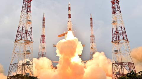
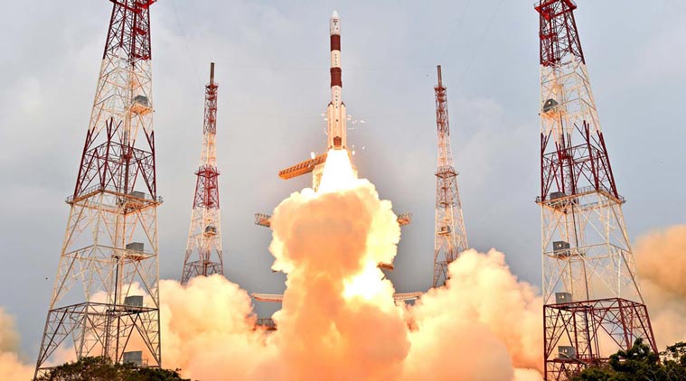
With the launch of the fifth payload of the Indian Regional Navigation Satellite System (IRNSS), the Indian Space Research Organisation (Isro) is almost set to deploy a secure and nationally owned alternative to GPS, which will cover all of India and a zone about 1,500 km beyond the national borders. After two more launches, India will join the small group of nations with their own satellite navigation systems. The US GPS was the trailblazing system with a global footprint, followed by the Russian GLONASS and French DORIS. By 2020, the European Union’s Galileo and China’s BeiDou satellite arrays are expected to be globally deployed.

The extra accuracy which the IRNSS promises will assume significance for future developments like the Internet of Things, to revolutionise logistics and inventory management, for instance, and perhaps enhance telemetry services. The Isro is taking a significant step with the IRNSS, helping to future-proof the nation from the perspective of the security and accuracy of data. In an information-hungry world, it’s serving the national priority of generating and owning reliable data on the neighbourhood.


