Journalism of Courage
Premium
This is an archive article published on July 10, 2024
Monsoon vigorous over Konkan-Goa, IMD issues ‘orange’ alert until July 13
Mumbai will continue to witness heavy rain. Due to rough sea conditions, the IMD has advised fishermen to stay off the high seas in northern Maharashtra.

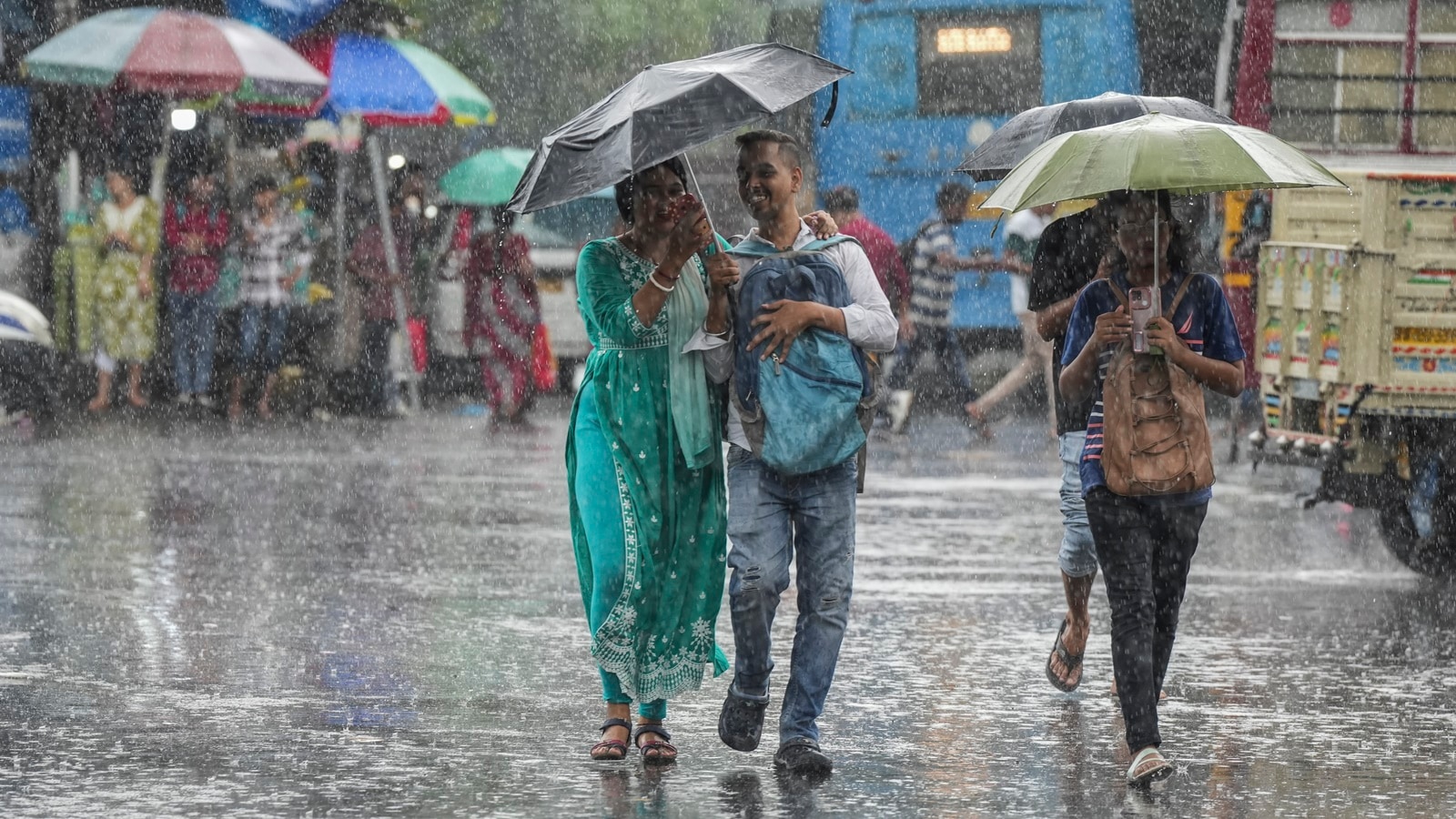 Once the monsoon trough is well established, regions to the south of it experience good and widespread rainfall.(PTI Photo)
Mumbai, along with parts of Konkan and Goa, will continue to experience heavy rain and remain under an ‘orange’ alert (be prepared) until Saturday, July 13, according to the India Meteorological Department (IMD). The weather agency on Tuesday reported that the western coastal areas were affected by multiple favorable weather systems, all of which resulted in a sudden increase in rainfall since the past weekend.
On Tuesday, some of the country’s wettest areas were located in the Raigad, Ratnagiri, and Sindhudurg districts of Maharashtra and the neighboring state of Goa. The 24-hour rainfall recorded in Dapoli, Malvan, and Mhasla was 230 mm each, followed by Murud (210 mm), Dodamarg (200 mm), Pernem (190 mm), and Vengurla (170 mm). Vasai, Mumbai (Colaba), and Harnai recorded 160 mm each.
The Konkan-Goa region commonly receives very high levels of rainfall and is considered one of the wettest areas in the country. Some locations in this region can experience an average monsoon rainfall as high as 5,000 mm. July and August are especially wet months in these hilly areas. The monsoon trough is currently running along Jaisalmer, Bhilwara, Raisen, Rajnandgaon, and Puri, and dipping southeastwards towards the Bay of Bengal. “The monsoon trough is located to the south of its normal position,” an IMD official said.
When the monsoon covers the entire country, as it did on July 2 this year, rainfall is largely influenced by the monsoon trough and synoptic systems such as low-pressure systems. Once the monsoon trough is well established, regions to the south of it experience good and widespread rainfall. The movement of this monsoon trough, combined with other synoptic systems, keeps the monsoon active.
The current position of the monsoon trough is causing good rainfall over parts of central and north peninsular India, according to the meteorological official. The west coast is currently affected by a strong Arabian Sea branch of the monsoon, which is bringing moisture-laden westerly winds to the area.
“These strong, moisture-loaded westerly winds once encounter barrier in the form of western ghats, they cause heavy downpours along the windward-side or the ghat areas of Konkan and Goa,” said former IMD scientist Anupam Kashyapi.
In addition, a prevailing offshore trough between Maharashtra and northern Kerala has been supporting the southwesterly winds from the Arabian Sea towards the land. Additionally, there is a prevailing cyclonic circulation over Gujarat.
Story continues below this ad
The IMD has warned of isolated heavy rainfall (115.5 to 204.4 mm in 24 hours) over Konkan, Goa and Madhya Maharashtra from July 11 to 13.
In view of squally winds and rough sea conditions prevailing until July 13, the Met department has advised the fishermen community against venturing into the sea, especially along north Maharashtra. Winds with speeds ranging from 35–45 km/hr, gusting to 55km/hr, are likely during the next four days.
Advertisement
Top Stories


Live Blog
Advertisement
Loading Taboola...
Advertisement