Journalism of Courage
Premium
This is an archive article published on January 23, 2023
Govt to launch digital crop survey in 10 states this kharif season
In the survey, information on different types of crops sown by farmers in their fields will be collected through an automated process by using “Geo-Referenced maps” of the farmland plots and remote sensing images.

 The digital crop survey will be rolled out initially as a pilot project in Andhra Pradesh, Karnataka, Madhya Pradesh, Maharashtra, Odisha, Rajasthan, Tamil Nadu, Uttar Pradesh, Kerala and Gujarat, according to sources.
Listen to this article
Govt to launch digital crop survey in 10 states this kharif season
x
00:00
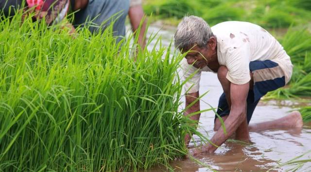
THE CENTRE plans to launch a digital crop survey from the kharif-2023 season across 10 states, The Indian Express has learnt.
In the survey, information on different types of crops sown by farmers in their fields will be collected through an automated process by using “Geo-Referenced maps” of the farmland plots and remote sensing images.
The digital crop survey will be rolled out initially as a pilot project in Andhra Pradesh, Karnataka, Madhya Pradesh, Maharashtra, Odisha, Rajasthan, Tamil Nadu, Uttar Pradesh, Kerala and Gujarat, according to sources. Later, it will be gradually rolled out across the country. Once it becomes fully operational, it will add on to the age-old crop area statistics collection system, which is known as “patwari agency”, that is currently in use in most of the states.
In the patwari agency, a complete enumeration of all fields (survey numbers) called girdawari is made of a village during each crop season to compile land use, irrigation and crop area statistics.
According to the sources, the proposed survey will use “the latest technological advancements such as visual and advanced analytics, GIS-GPS Technologies and AI/ML” to provide “near real-time” information about the crops sown by the farmers.
“As part of the digital agriculture initiatives, the Union Ministry of Agriculture and Farmers Welfare, plans to develop a reference application for the crop-sown survey,” said a source. “States to take up Geo-referencing of the village maps in their respective states.”
Satellite data from National Remote Sensing Centre (NRSC), which comes under the Indian Space Research Organisation (ISRO), has already been made available to the states, the source said.
Story continues below this ad
Elaborating the process of the proposed survey, the source said, “A crop registry, with a list of all the crops sown in India, is being developed. The crop registry will act as a single source of truth for collecting the data in a standardized manner, during the digital crop survey.”
The crop registry will have ability to capture single or multiple crop IDs for the same farmland plot for the same season, along with the respective area of sowing and type of crops, such as intercrop, mixed crops, single crop, the source said, adding that linkage to Global Positioning Systems (GPS) and Geo-referenced Cadastral maps would enable users to reach the right farm and collect the right data and images.
The linkage to remote sensing and aerial image analysis tools can be used to cross-check data at a “larger area level” with the reported and derived information from the field level for enabling higher accuracy levels. The survey will also have a mobile interface that will allow offline data capturing in the field (farmland plot) where the crop is sown, the source said.
Listing benefits of the survey, the source said it will help in creating visibility on – accurate and transparent estimates of crops sown in states; crop identification for improved production, crop grown area; yield estimation from crop-sown data; easy implementation of departmental schemes focused on crops; easy verification, estimation and settlement of crop insurance claims; assess cropping patterns for environmental impacts; and improve market from the village to national levels.

Advertisement
Top Stories


Live Blog
Advertisement
Loading Taboola...
Advertisement