© The Indian Express Pvt Ltd

 While clouds seem ethereal – especially when they wisp silently into your garden in the hills – they can be hugely powerful (Image credit: Ranjit Lal)
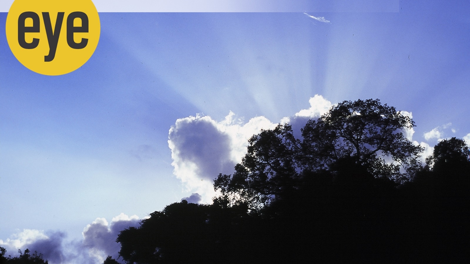
As the sweltering summer draws to a close, all eyes are turned upwards, searching for the first sign of the harbinger of the monsoon: clouds. And what they look like and how high they hang up in the sky will tell us whether they bring rain or will just flatter to deceive. Meteorologists, of course, have sorted them out: there are eight families divided into three groups depending on their altitude. For you and me, staring up from the ground, it’s difficult to estimate the height — the best place to do this from would be from an aircraft.
High-flying clouds — floating at between 16,500 and 42,500 feet above, are cirrus, cirrostratus and cirrocumulus. Cirrus are wispy and feathery (‘partridge feather’ clouds), comprising chiefly of ice crystals and provide the first hint that the weather is in for a change. Cirrostratus blanket the sky in a white shawl, make the sun and moon look like hazy silver coins, and indicate rain or snow. Cirrocumulus clouds are again sheet like but with a rippled appearance and in tropical areas predict a possible hurricane.
Floating lower down at between 6,500 and 23,000 feet, we meet the altocumulus, altostratus and nimbostratus gang. The first, have a fluffy, ripple-like look, but with patches of white and grey, and though well laden with water, do not indicate that the heavens are going to open up: they flatter to deceive. The nimbostratus, however, are gunmetal grey, dark and brooding, they snuff out the sun and have veils of rain falling from them: oh yes, it’s going to be dark and gloomy and wet.
Hanging low, at below 6,500 feet, are white, popcorn-like cumulus clouds, which light up psychedelic sunsets, and from time to time resemble things we recognise, from baby bunnies to open-mouthed sharks. Stratus clouds look like fine bed-sheets spread across the sky and are too thin to produce any rain. Cumulonimbus tower up into the sky like mountains and indicate wet weather on the way.
There are various other types too, defined more by the shape they are, rather than the height they are at. Thus, cumulus clouds may tower up to 39,000 feet, starting off from a relatively low height – these do mean heavy rain. ‘Mammatus’ (from mamma) clouds are pouch-like clouds hanging beneath the base of other kinds of clouds, like altocumulus and are the harbingers of heavy rain.
I would imagine it would take years of observation, training and practise to precisely identify what kind of clouds are floating up there because often there seems to be a confusing mix and match of various kinds — and wind currents blowing them hither and tither don’t help. And while they seem so ethereal — especially when they wisp silently into your garden in the hills — they can be hugely powerful. Fog, incidentally, is just clouds on the ground.
Watch an inky mass of clouds approach you from over the horizon and you will feel uneasy and look for the nearest shelter: Like during a solar eclipse, day suddenly turning to night can be very unnerving. I remember seeing towering dark and angry cumulous clouds on a monsoon flight and though the pilot took care to skirt around them, the ones we did hit head-on made the big aircraft bounce, rather like a jeep on a rutted track. Also, the clouds were spitting spears of lightning at one another. Thunder, of course, is not the sound of colliding thunderheads: Lightning generates white-hot heat causing the air around the discharging clouds to heat up quicker than the speed of sound – thus breaking the sound barrier and causing the rumbling boom. Lightning striking a tree or the earth can be a heart-stopping moment: a stunning shattering blast, but the rumble of thunder that rolls in after it often sounds as comforting as that of a happy elephant’s tummy.
It is amazing to think how Nature has worked out the magical mechanism of clouds and rain. Water vapour, evaporated by the sun, over the vast oceans, or given out by plants, trees and forests (through transpiration) rises in the warm air, cooling as it ascends. The vapour then settles on microscopic particles of dust in the air, and if it is cool enough condenses back into water or ice. When enough droplets are so formed, they become a cloud. Wind currents drive the clouds and when they float over land, they may run into high mountains (like the Himalayas and Western Ghats) and begin to pile up, getting heavier and lower. And then let go of their huge load of water as rain – which we call the monsoon. The massive amounts of water vapour transpired by vast forests, such as the Amazon rainforest, create their own rain nearly every single day in a wonderful bilateral give and take.
And here on Earth, every living thing depends on the rain. When there are reluctant clouds up in the sky, we have tried ‘seeding’ them: scattering crystals of potassium iodide or silver iodide or even dry ice and table salt, in order to encourage, a nucleus to form, on which the vapour can condense. These are hygroscopic — as you would have noticed with what happens to table salt during the monsoon.
Predicting the weather by looking at clouds and measuring other parameters, such as air pressure, wind currents and so on has become a fine science, getting more accurate by the day. But still, Nature often has the last laugh, as you slosh through knee-deep torrents on a day it was promised would be bright and sunny.