© The Indian Express Pvt Ltd

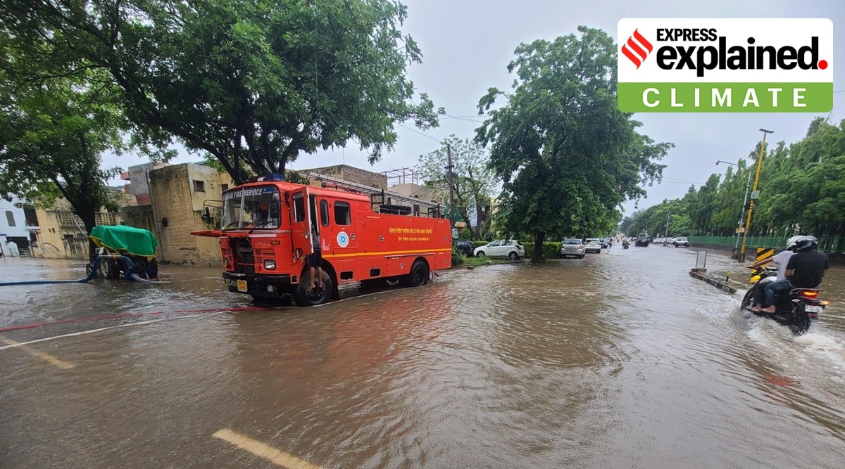 Firemen pump rainwater from a submerged residential area in Mohali's phase 4, on July 10. (Express photo by Jasbir Malhi)
 The weather department has attributed the heavy rainfall over Chandigarh and its adjoining areas to a Western Disturbance (WD), which hit the northern parts of India on July 8.
According to AK Singh, officiating director of the Meteorological Centre, Chandigarh, the Western Disturbance will withdraw from the region Tuesday onwards.
A WD is a storm originating from the Mediterranean region, completely different from the monsoon. The WD is known for moisture usually being carried in the upper atmosphere, contrary to its tropical counterparts where the moisture is carried in the lower atmosphere. WDs are frequent, and their spells can be long or short.
AK Singh said, “The region was already experiencing monsoon rain when the WD arrived in India after crossing Afghanistan and Pakistan, which also received heavy rainfall recently. However, the Western Disturbance has started withdrawing. The heavy rain is expected to continue till 8.30 am Tuesday, after which the rain will last, but not with the same intensity as now.”
The weather department had predicted the WD on July 2, six days before its arrival. Earlier, a Western Disturbance had hit the region at the end of June and withdrawn after three days.
Singh explained that the monsoon is well-defined. “In India, it is confirmed that the monsoon arrives in July and lasts till September. However, WDs have no fixed time of arrival. Also, while the monsoon period is around three months, WDs can last for very short spells,” he said.
According to the weather department, the prediction of an upcoming Western Disturbance can only be made around six days before its arrival. To keep tabs on it, the weather departments concerned monitor the activities over the Mediterranean region every half an hour.
Singh said, “As of now, there is no indication of any further Western Disturbance for the northern region, including Chandigarh. But we cannot rule out the possibility of more such weather systems.”