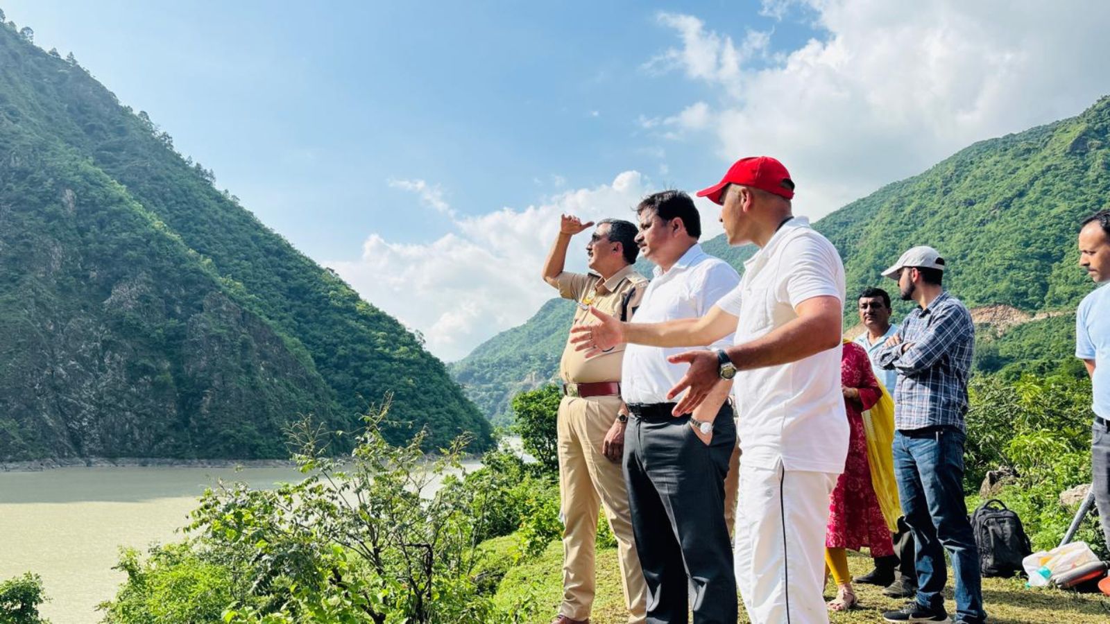
 In Mandi, a cloudburst occurred near Tikkar village while the cloudburst in Shimla was reported near the Jhakri hydro project, leading to flood-like conditions in Samej Khad.
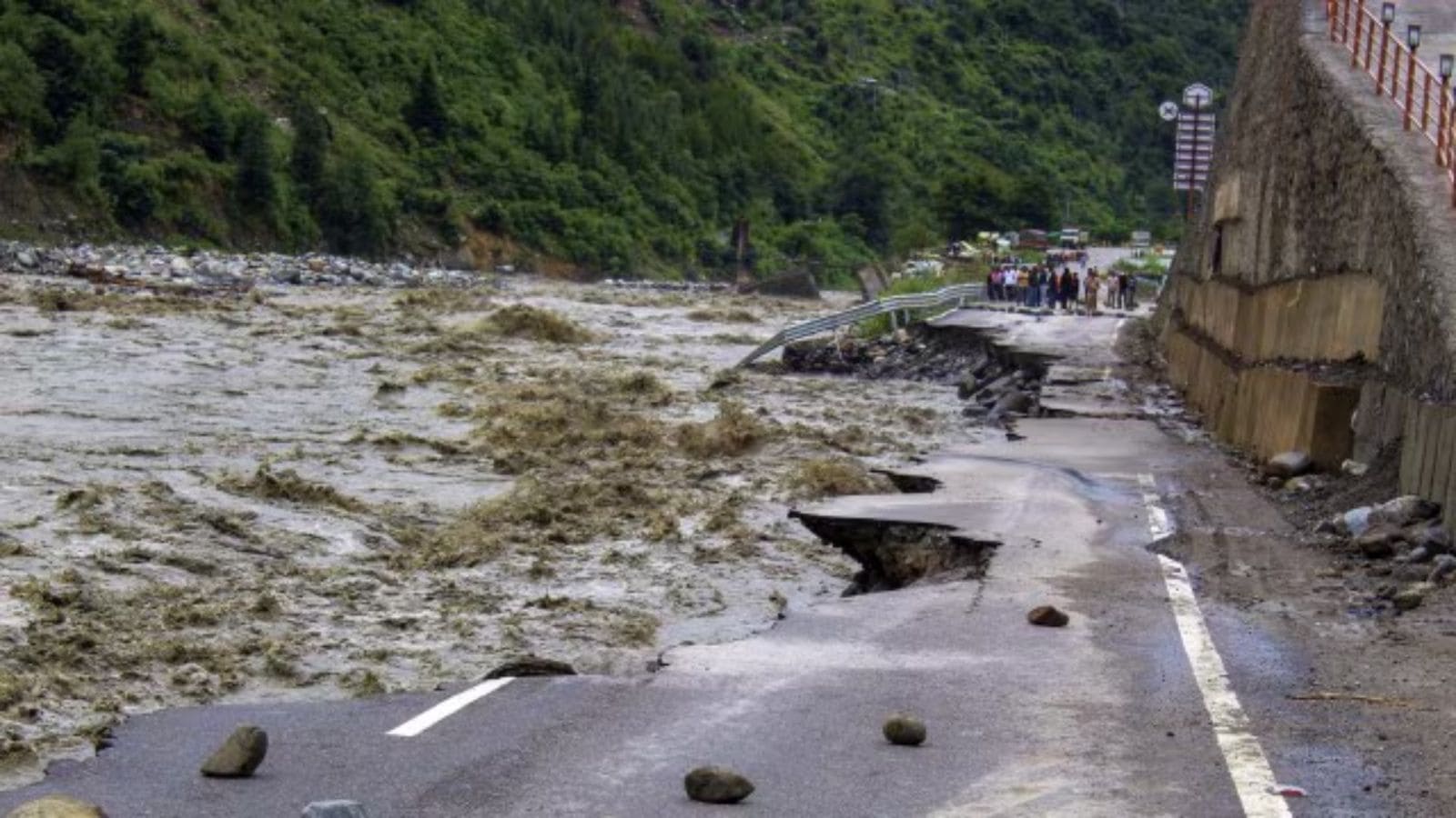 The cloudburst that occurred near the Shrikhand Mahadev mountains fell into Sechi Khad, about 35 km upstream from the confluence point. (PTI)
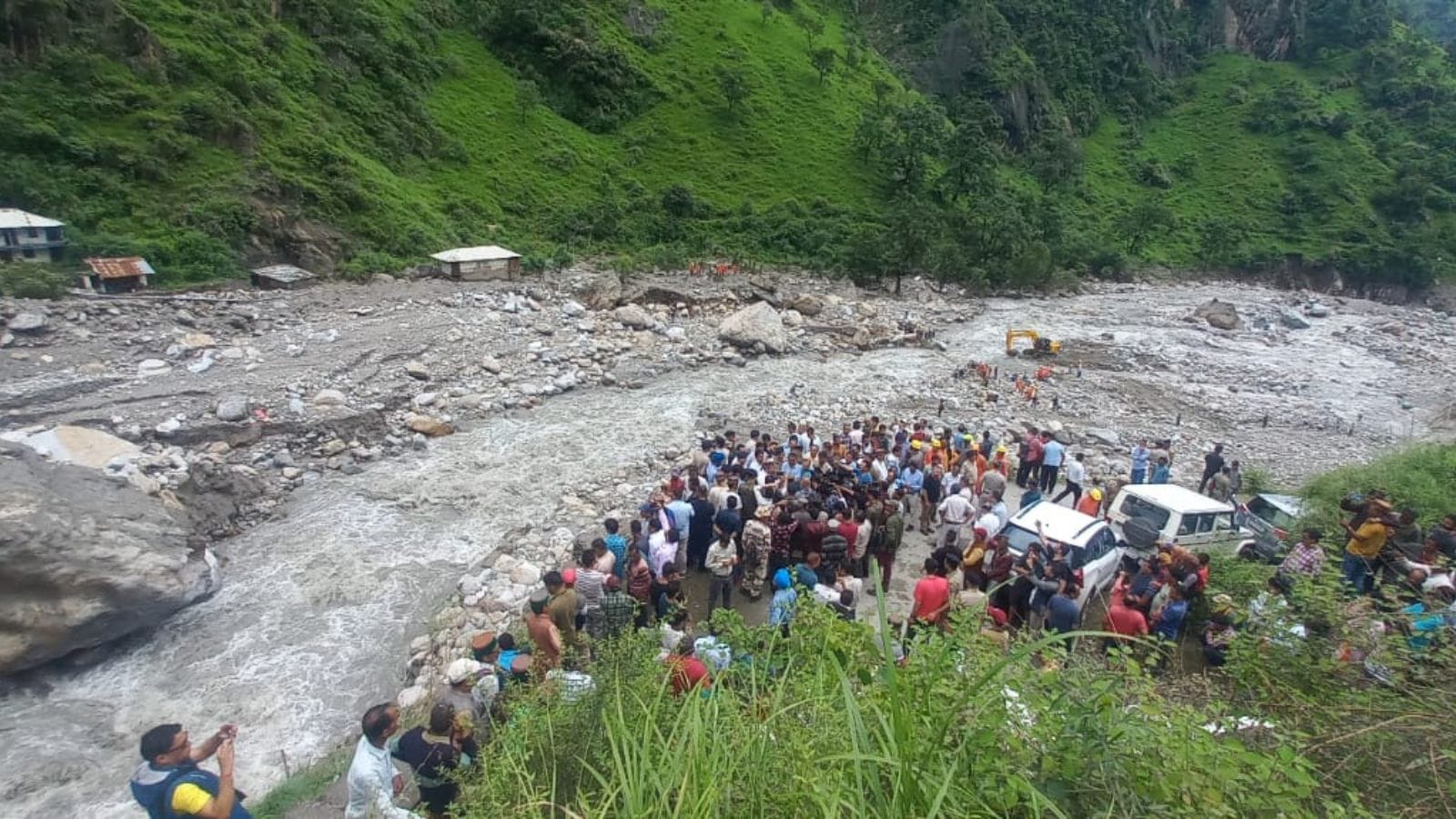
 Search for all the missing persons has proven to be a herculean task for the authorities. (Saurabh Parashar)
Saurabh Parashar is an Assistant Editor at The Indian Express, primarily responsible for the publication’s coverage of Himachal Pradesh. He is a seasoned journalist with over 17 years of experience in print media, specializing in crime, legal affairs, and investigative reporting. Professional Background Education: He holds a Master’s degree in Mass Communication from Guru Jambheshwar University of Science & Technology (Hisar) and a Law degree from Himachal Pradesh University (HPU), Shimla. This legal background significantly informs his reporting on complex judicial and administrative matters. Career Path: Before joining The Indian Express in 2017, he spent 12 years with The Times of India. Core Beats: His primary focus is the socio-political landscape of the hill state, with a specific emphasis on the environment, forest conservation, drug menace (specifically "Chitta"), affairs related to tribal and archaeology and the unique challenges of governance in high-altitude regions. Recent Notable Articles (Late 2025) His recent reporting highlights the critical intersection of policy, law, and social safety in Himachal Pradesh: 1. "Himachal’s battle against Chitta: Why the border areas are most vulnerable" (Late 2025): An investigative look at the transit routes from Punjab and the impact on local youth. 2. "Shimla ropeway clears key hurdle as 820 trees face the axe :According to the Forest Survey of India’s 2021 assessment, 47.21 percent of Shimla’s 5,131 sq km geographical area is under forest cover (Nov 17, 2025). 3. "Himachal to handover 2.7427 ha of non-forest land for Shimla Ropeway: Given the land’s non-forest nature, RTDC and the state will not require permission from MoEFCC" (Nov 18, 2025) 4. "How the centuries-old Jodidara tradition is fading in Himachal’s Trans-Giri region: Jodidara: a form of fraternal polyandry—has long been part of Hatti tribal culture in the Trans-Giri region of Himachal Pradesh and adjoining Uttarakhand. It is believed to have evolved to prevent division of ancestral land and maintain unity among brothers in the harsh, mountainous terrain" (Aug 18, 2025) Legal & Agricultural Affairs "Kisan Sabha hails SC’s setting aside Himachal HC order to remove orchards from forest land" (Dec 18, 2025): Covering a major Supreme Court victory for farmers, where a High Court order to remove fruit-bearing apple orchards was overturned. "Himachal Cabinet nod to new tourism policy; focus on home-stays in tribal areas" (Dec 11, 2025): Detailing the legislative push to decentralize tourism and bring economic benefits to Lahaul-Spiti and Kinnaur. 3. Governance & Environment "Forest rights and development: Why Himachal is seeking more leeway from Centre" (Dec 19, 2025): Reporting on the legal hurdles faced by the state in infrastructure projects due to the Forest Conservation Act. "Cloudbursts and resilience: How Himachal’s remote villages are building back better" (Nov 2025): Following up on the long-term rehabilitation efforts after monsoon-related disasters. Crime especially cyber crimes, crypto currency etc: crypto currency: "Agents in uniform, motivational speeches, lavish parties: How a Himachal crypto con went unnoticed:A serial conman, a ‘Nelson Mandela Nobel Peace Award winner', and retired policemen got together to pull off a Rs 1,740-crore fraud" (Nov 10, 2023) Signature Beats Saurabh is recognized for his tenacious reporting on the state's drug epidemic. His deep familiarity with the topography and tribal culture of Himachal allows him to report from remote locations like Spiti, Pangi, Shillai, which are often overlooked by national media. His legal expertise makes him a primary choice for covering the Himachal Pradesh High Court on issues ranging from local body elections to environmental PILs. X (Twitter): @saurabh_prashar . ... Read More
Stay updated with the latest - Click here to follow us on Instagram
- Tags:
- Cloudbursts
- Himachal Pradesh