


Tags:

As the mercury touches unprecedented levels across India, it might be a good idea to reflect on what could be causing this. From today, we start a series on how our country and its cities have transformed over the years in its quest become more urban.
The pressures of population have a great role to play in how India grows and that is visible in the way our cities have changed over the years. They have grown, often at an unregulated pace and with no semblance of order.
We use tools released recently by Google to map this change.
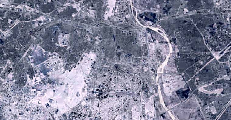
The first part of the series looks at our capital region, especially New Delhi. Of course, there is a lot of construction in the city in the period between 1984 and 2012. There is also the Commonwealth Village that starts to dominate the Yamuna riverbed in the latter part of the timeline.
Thankfully, the Ridge is relatively unaffected in this period. And we can only hope that it stays so in the years to come.
If you want to see the map of a specific region, please request us in the comment section.


