The plan will be implemented in three phases. It will span an area of 20,550 square meters and envisages a 276 km metro network and six new Bus Rapid Transit System (BRT) corridors.

Here is what you need to know.
What does the Comprehensive Mobility Plan for Pune entail?
A Comprehensive Mobility Plan (CMP) is a ladong-term strategic framework for developing an integrated transport system. It brings together multiple government stakeholders to set long-term urban mobility goals based on population growth, regional expansion, and employment projections. The plan includes estimated costs, proposed land use, and strategies for sustainable and efficient transportation.
The CMP for Pune involves 29 administrative stakeholders, including all municipal corporations, transport authorities, traffic divisions, and central agencies like Indian Railways and the National Highways Authority of India (NHAI).
The study area spans 2,550 sq km, covering the Pune Metropolitan Region (PMR), Maharashtra Airport Development Company (MADC), Maharashtra Industrial Development Corporation (MIDC), and other key zones. The plan will be implemented in three phases: 2024-34, 2035-44, and 2045-54.
Why does Pune need such a plan?
The TomTom traffic index ranked Pune fourth globally for average travel time per 10 km – 33 minutes and 22 seconds – and congestion level. There are multiple reasons for the traffic: increased vehicle registration, shortage of PMPML buses, delay in connectivity work, and the poor management of roads.
Last year, Pune’s RTO recorded over 3 lakh new vehicle registrations, reflecting 4% growth over the previous year, while Pimpri-Chinchwad’s RTO recorded 8% growth. Over the past four years, 40 lakh vehicles have been registered in Pune and 23 lakh in Pimpri-Chinchwad.
Story continues below this ad
Public transport infrastructure has not kept pace with the rapid population growth. The Pune Mahanagar Parivahan Mahamandal Limited (PMPML) fleet is significantly below the required capacity per the Ministry of Housing and Urban Affairs (MoHUA) guidelines of 60 buses per lakh population.
PMPML currently operates 2,030 buses of the 6,228 required for Pune and Pimpri-Chinchwad, a 68% shortfall. This requirement is expected to rise to 8,000 buses by 2034, 10,000 by 2044, and 11,600 by 2054. With the district’s population growth, the actual requirement will likely exceed these estimates.
On the other hand, Pune Metro has struggled to meet its projected ridership. Official data revealed that average daily ridership has languished at 1.6 lakh, barely a quarter of the 6 lakh daily ridership projected by a Delhi Metro report for 2021.
How does the CMP plan to strengthen the public transport system?
- 01
Proposed Metro Line
The metro currently has 33.1 km of operational lines, connecting the Pimpri-Chinchwad Municipal Corporation (PCMC) to Swargate and Vanaz to Ramwadi. The under-construction metro line is 33.5 km long and will connect Hinjewadi with District Court, PCMC with Nigdi, and Swargate with Katraj.
Maha Metro is set to construct 148 km of metro lines and 128 km of metro-lite and metro-neo routes. Metro-lite is a lightweight, lower-capacity rail transit system for smaller cities or low-density areas. Metro-neo is a moderate-capacity rail transit system with lower infrastructure costs, suited for areas with moderate passenger densities.
- 02
Proposed Bus Rapid Transit System (BRTS) Corridors
Pune Municipal Corporation (PMC), PCMC, and Pune Metropolitan Region Development Authority (PMRDA) have proposed four new BRTS routes stretching 117 km. These four routes are Ravet to Rajgurunagar and Talegaon Dabhade, Gavli Matha Chowk to Shewalewadi, and Chandani Chowk to Hinjewadi.
High-Frequency Bus Corridors will include two routes, Loni Kalbhor to Kedgaon and Bhumkar Chowk to Chinchwad Chowk, spanning 46.3 km.
- 03
Proposed Pune Mahanagar Parivahan Mahamandal Limited (PMPML) buses and routes
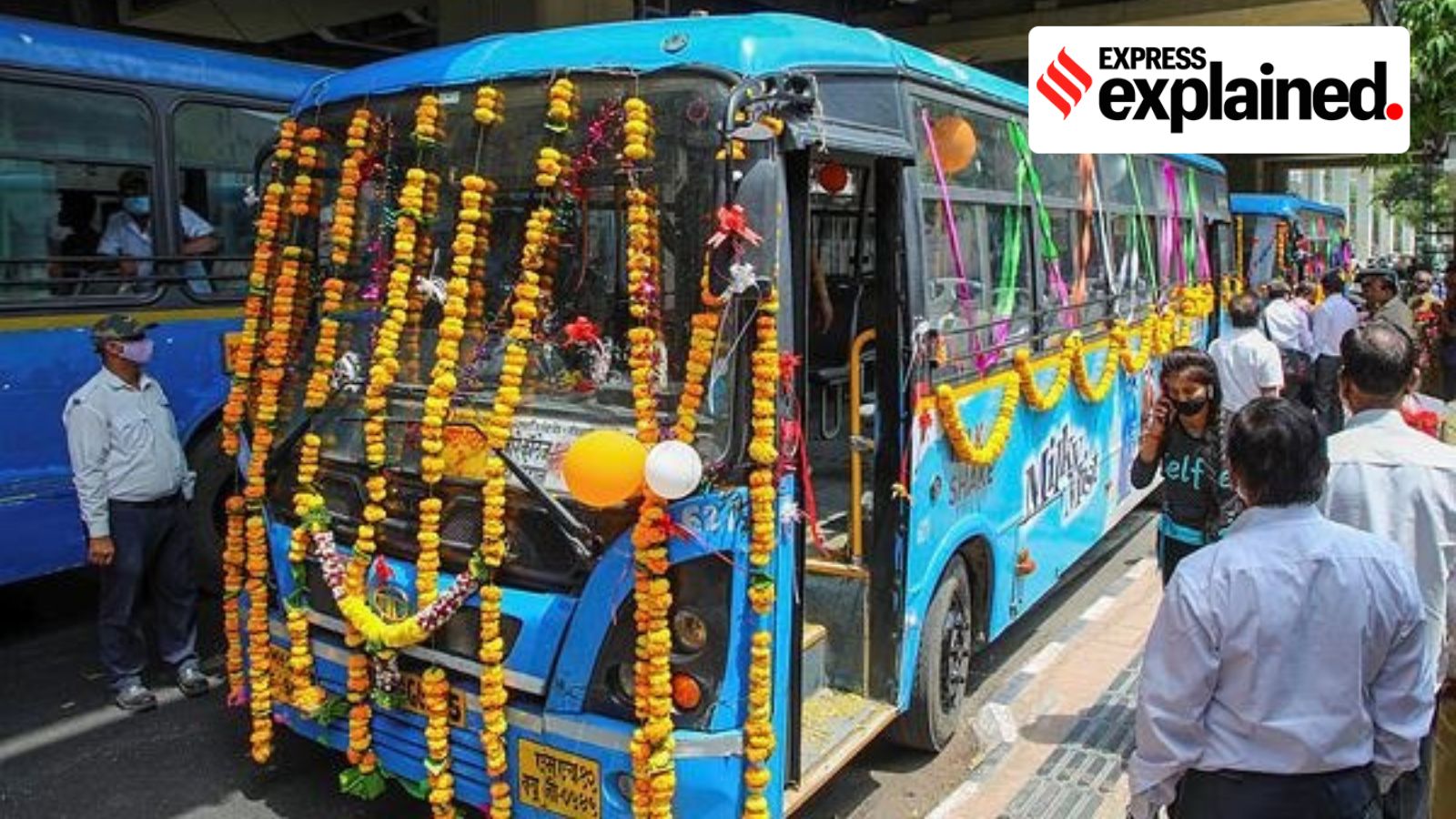
The PMPML currently serves 12.3 lakh passengers a day. The existing PMPML fleet consists of 2,030 buses, including 473 e-buses.
Under the CMP, PMPML will construct 18 new bus routes spanning 641.90 km, of which 140.16 km will be developed in the next ten years. Additionally, PMPML has also proposed the development of 11 new terminals. Moreover, 14 new bus depots will be developed, with a minimum of two hectares of land for 100 buses, and five hectares for future terminal expansion.
- 04
Maharashtra State Road Transport Corporation (MSRTC)
MSRTC will redevelop seven intercity bus terminals out of 10 and construct four new terminals. These four terminals will be located at Mangdewadi, Kadam Wasti, Londi Kand, and Moshi.
- 05
Railway and Airport Connectivity
Under the CMP, the Central Railway has planned to implement the Station Area Traffic Improvement Scheme (SATIS) for Pune, Shivajinagar, Chinchwad, and Talegaon. The plan will also connect Talegaon with Daund, bypassing the railway line in two phases.
Jejuri and Rajewadi, two railway stations, are proposed for the new Purandar Greenfield Airport project, with a spur line connecting Rajewadi to the airport.
- 06
CMP for Non-Motorized Transport (NMT) Improvement
This part of the plan will focus mainly on development work by corporations, keeping pedestrians, footpaths, and bicycle track infrastructure in mind. The footpath network on both sides will stretch 341 km in PMC regions and 266 km in PCMC. A bicycle track is proposed to be 229.8 km long in PMC and 170 km in PCMC. However, the current track length, combining PMC and PCMC corporations, is only 62 km.
- 07
Mobility Management Measures
To regulate mobility, the construction of 14 truck terminals, seven logistic parks with a land area of 25 acres each, 26 multimodal integration hubs, 14 off-street parking locations, and on-street parking at 22 locations has been proposed.
The on-street parking will be based on a pay-and-park mechanism, with smart parking management technologies. The Parking Policy 2016 will be followed to determine area-wise parking fares.


