Journalism of Courage
Premium
This is an archive article published on May 30, 2023
HP forest dept prepares fire mapping system to control forest fires: Govt
The forest wealth accounts for 68.16% of the total geographic area of the state which is rich in biodiversity and plays a vital role in preserving the fragile Himalayan ecosystem.

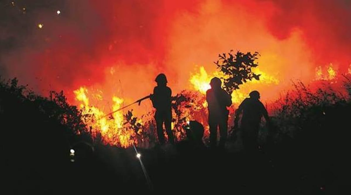 Sensitive places in the forest prone to fires have been marked and linked from the places from where fire can be controlled. (Representational Photo)
Listen to this article
HP forest dept prepares fire mapping system to control forest fires: Govt
x
00:00
In order to tackle the problem of rising forest fires in Himachal Pradesh, the state forest department has prepared a fire mapping system to control the blaze and has also prepared a list of sensitive forests that require close coordination with panchayats and local communities.
As per an official statement, maps have been prepared for sensitive forests. Sensitive places in the forest prone to fires have been marked and linked from the places from where fire can be controlled.
Chief Minister Sukhvinder Singh Sukhu laid stress on mass contact programmes with the local people, panchayats and schoolchildren to raise awareness about the damage caused by forest fires to the natural resources, wildlife and the environment. It can go a long way in controlling the fires, the CM said in the statement.
“Though it is not possible to control them entirely, yet the key is to ‘stay alert’,” added the CM in the statement.
The forest wealth accounts for 68.16% of the total geographic area of the state which is rich in biodiversity and plays a vital role in preserving the fragile Himalayan ecosystem. Forests are crucial for the state’s environmental, ecological and economic well-being.
This year due to changed weather conditions, summers were not quite harsh, yet stress is being laid on important forest fire management elements like strategic fire centres, coordination among various departments, funding, human resource development, fire research, fire management, and extension programmes, etc., the statement said.
Natural causes like lightning can set fires on trees which may be spread by wind. When people burn their fields to clear them of stubble, dry grass or undergrowth, the fire sometimes spreads to the adjoining forest.
Story continues below this ad
“We need to control man-made causes which are usually the ones that become dangerous. It is important to create awareness on a larger scale particularly in rural regions of the state and the local participation of elected bodies can play a pivotal role,” the CM said in the statement.
The forest department has also held several meetings through virtual medium with the field officers of the department and the elected representatives of the panchayats in this regard, the statement said.
The department has also constituted a Rapid Fire Action Team to control the forest fires. In case of forest fires, this team will inform the forest department about the fire through WhatsApp. Local residents are being sensitised to the ill-effects of the forest fire and the role they can play in case of any such incident, the statement said.
Advertisement
Top Stories


Live Blog
Loading Taboola...
Advertisement