Journalism of Courage
Premium
This is an archive article published on February 11, 2022
Delays in surveys behind rising encroachments, say officials of Karnataka forest dept
Former principal chief conservator of forest (head of forest force), BK Singh said that any survey ordered by any authority is disputed by the aggrieved parties, if the result of survey goes against them.

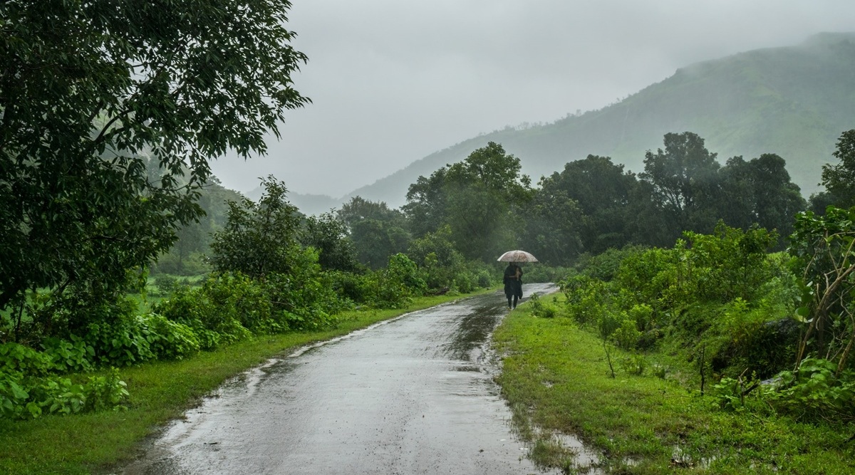 During the June to September monsoon season, the Western Ghats receive 14mm/day whereas the rest of the country receives only 7mm/day during these months.
(Representational image)
During the June to September monsoon season, the Western Ghats receive 14mm/day whereas the rest of the country receives only 7mm/day during these months.
(Representational image)With encroachments in forest areas becoming a major issue, officials of the Karnataka forest department say that delay in conducting surveys is one of the reasons behind rapid encroachment.
Some of the surveys in Bengaluru, Chikkamagaluru and Shivamogga wildlife divisions have not been completed even after a decade, say officials.
“There was a special order by the high-level committee to survey forests in Bengaluru and evict the encroachments. In Bengaluru the survey at many blocks is still remaining. One of the examples is BM Kaval which is a 1500-acre reserve forest in the south of Bengaluru. Though a high level committee has ordered the forest department a few years ago to survey and evict encroachments from the forest areas in Bengaluru, it is yet to be completed,” a senior forest official pointed out.
In Bengaluru, a survey of more than 1,000 acres of the revenue land was ordered in April 2021. Though the revenue department said that the survey would get over within a few months, it is almost a year and the survey is yet to be completed. The land after survey would be transferred to the forest department to develop the elephant corridor.
Former principal chief conservator of forest (head of forest force), BK Singh said that any survey ordered by any authority is disputed by the aggrieved parties, if the result of survey goes against them.
“In order to carry out a survey we choose a reference point and mark the boundaries. So the affected parties, who after survey would stand to lose the land, are often found to be defacing the reference points. During resurvey of the forest lands, it has been found that people remove the fixed survey points from the ground, which makes the resurvey further difficult. This results in an increase of the encroachment area,” said Singh.
“Prior to the Forest ( Conservation) Act, the revenue department granted forest lands left, right and centre but never spelt out and defined the boundaries. All forest land release orders said that few acres were granted to an individual, giving a scope to occupy much more than the grants made, as no boundaries were fixed. All boundaries today are therefore in a mess. By the time another survey takes place, the boundary is further defaced. It goes on endlessly and the survey remains inconclusive. Today, GPS surveys have replaced the chain compass survey which was a practice during the British period and even till recently. GPS survey is quick, but is not as accurate as chain compass survey,” he elaborated.
Story continues below this ad
A total of 30,641 acres of forest land are encroached in Chikkamagaluru and 81,502 acres in Shivamogga divisions.
Advertisement
Top Stories


Live Blog
Loading Taboola...
Advertisement