© IE Online Media Services Pvt Ltd

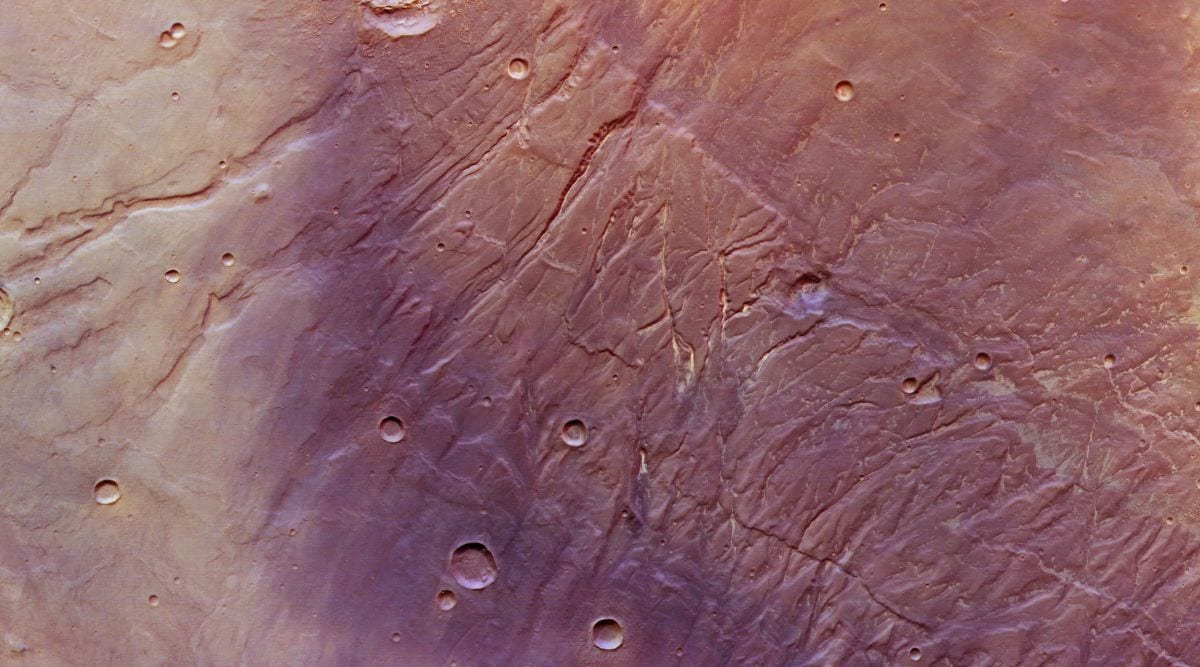 The near-vertical scars at the centre of the image of Mars are deep surface fractures that are known as Nectaris Fossae. (Image credit: ESA/DLR/FU Berlin)
 Despite Mars being Earth’s neighbour, there is a lot that we still do not know or understand about the red planet. A recent image of the planet taken by the European Space Agency’s (ESA) Mars Express once again drew attention to Mars’s fascinating geology.
According to ESA, the flanks of a vast volcanic plateau called Thaumasia Planum feature in this image of Mars captured by the High-Resolution Stereo Camera (HSRC) on the Mars Express orbiter. The highest geological features seen in the image are a stunning 4,500 metres taller than the lowest. Some of these features are thought to have changed very little since they formed nearly four billion years ago, giving scientists a glimpse into the early days of the planet.
Interestingly, the fascinatingly complex region was shaped by a combination of tectonics, the deformation of the planetary crust, and running water in the past. Present-day Mars has no running water and it displays no signs of active tectonics, but evidently, that has not always been the case.
 Topographical map of the Mars Express image. (Image credit: ESA/DLR/FU Berlin)
The near-vertical scars at the centre of the image are deep surface fractures that are known as Nectaris Fossae. These fractures were created by the significant tectonic stresses experienced by the region in the distant past. The Nectaris Fossae are thought to have been formed in relation to the Valles Marineris canyon system and have been filled with light-coloured dust since their formation.
After tectonics did its job on the Martian patch, water flowed across the surface and cut the rock, carving out deep valleys. You can see these channels spread across the image, with some being broad and shallow while others are quite deep. Towards the bottom right of the mage, you can see a dense patch of intensely-eroded water-carved valleys.