© The Indian Express Pvt Ltd

 Mount Everest is currently 8,849 metres tall. (Reuters)
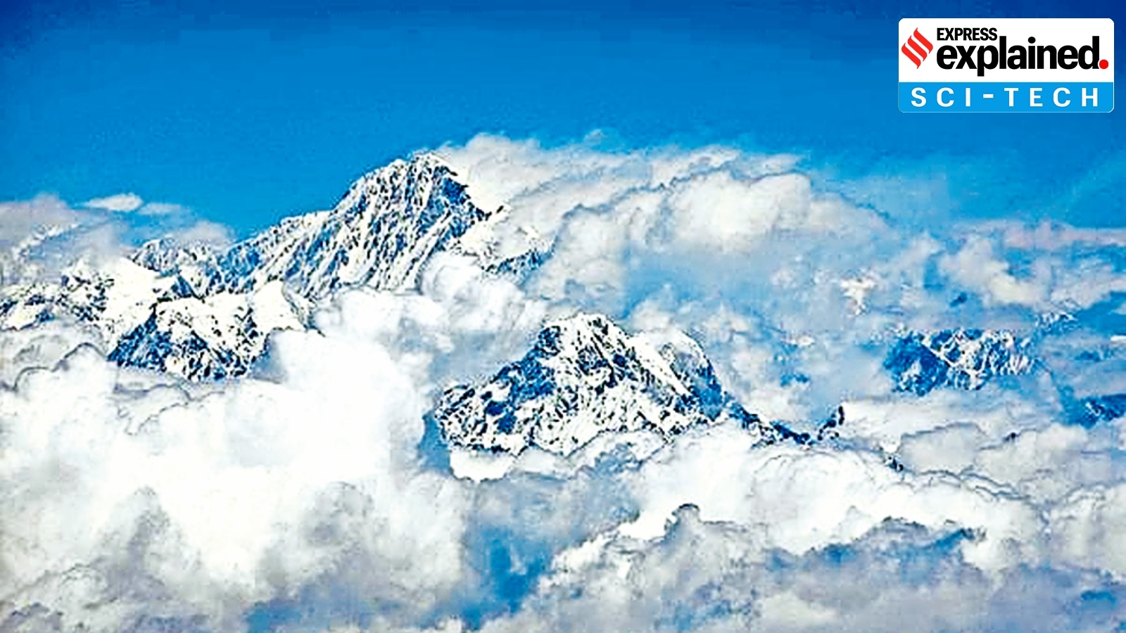
Mount Everest, currently 8,849 metres tall, has over the past 89,000 years, grown about 15 to 50 m higher than expected because a nearby river is eroding rock and soil at its base, helping push it upwards, according to a new study.
The loss of landmass in the Arun River basin, which spreads across Nepal and Tibet and is 75 km away from Everest, is causing the world’s tallest peak to rise by up to 2 mm a year, the study said.
The study, ‘Recent uplift of Chomolungma enhanced by river drainage piracy’, was published in the journal Nature Geoscience on Monday (September 30).
While Everest and the rest of the Himalayas have been slowly rising due to the collision of the Indian and Eurasian plates for around 50 million years, the change in the Arun river network is a contributing factor to the mountains’ continued rise.
‘Isostatic rebound’
Everest has been experiencing an additional boost to its height due to a geological process called isostatic rebound. It involves the rise of land masses on the Earth’s crust when the weight of the surface diminishes. The crust, Earth’s outermost layer, essentially floats atop a mantle layer of hot, semi-liquid rock.
In the case of Everest and its neighbouring mountains, the surface weight started to reduce after the Arun River merged with the Kosi River around 89,000 years ago. This resulted in accelerated erosion that carried off huge amounts of rock and soil, reducing the weight of the region near Everest.
“Isostatic rebound can be likened to a floating object adjusting its position when weight is removed,” geoscientist Jin-Gen Dai of China University of Geosciences in Beijing, one of the authors of the study, told Reuters.
“When a heavy load, such as ice or eroded rock, is removed from the Earth’s crust, the land beneath slowly rises in response, much like a boat rising in water when cargo is unloaded,” Jin-Gen Dai said.
The main gorge of the merged river system is located approximately 45 km east of Everest.
The researchers, who used numerical models to simulate the evolution of the river system, estimated that isostatic rebound accounts for about 10% of Everest’s annual uplift rate.
Everest’s neighbouring peaks including Lhotse, the world’s fourth highest, and Makalu, the fifth highest, also get a boost from the same process.
More research required
Some experts, however, are not convinced by the new study’s findings. They have argued that the timing of the merger of the rivers is uncertain, and that the researchers have relied on assumptions.
Geologist Mike Searle, who was not involved in the research, told The Washington Post that “dating river deposits or incision rates is very difficult”.
“The main arguments are geographical,” Searle, a professor at Oxford, said. “River incision, in my opinion, has little to do with mountain uplift.”
(WITH INPUTS FROM REUTERS)