Journalism of Courage
In pictures | Bomb cyclone batters northwest US, causes power outages, downs trees
The storm, intensified by a large atmospheric river, is expected to bring heavy rainfall and strong winds through Friday.
November 21, 2024 23:54 IST 1 / 9
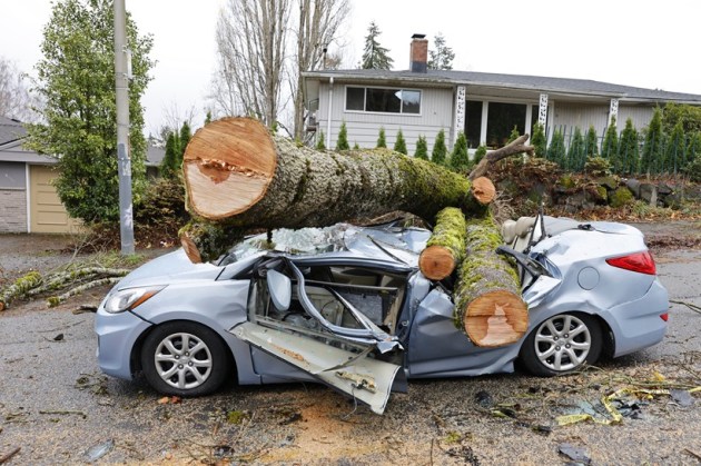
1 / 9A powerful "bomb cyclone" storm, one of the strongest in decades, hit the northwest United States on Tuesday evening, causing widespread power outages and downed trees. (Photo: AP)
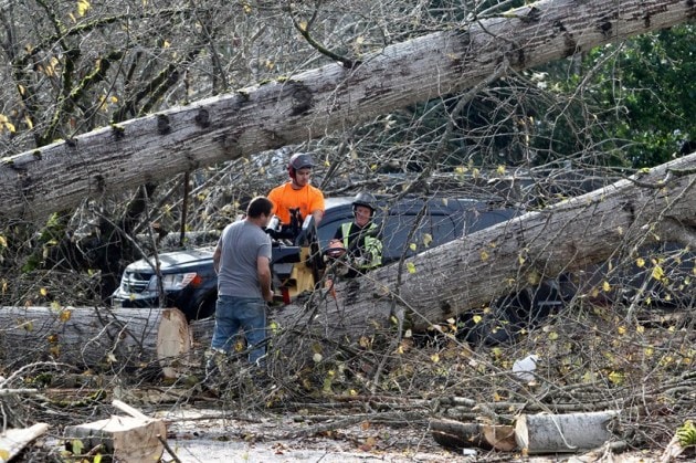
 2 / 9
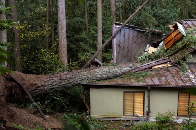
2 / 9The storm, intensified by a large atmospheric river, is expected to bring heavy rainfall and strong winds through Friday. (Photo: The Seattle Times)
 3 / 9
3 / 9The hardest-hit areas are likely to stretch from Portland, Oregon, to the north of San Francisco, with flash flooding risks in lower elevations and winter storms in higher areas. (Photo: The Seattle Times)
 4 / 9
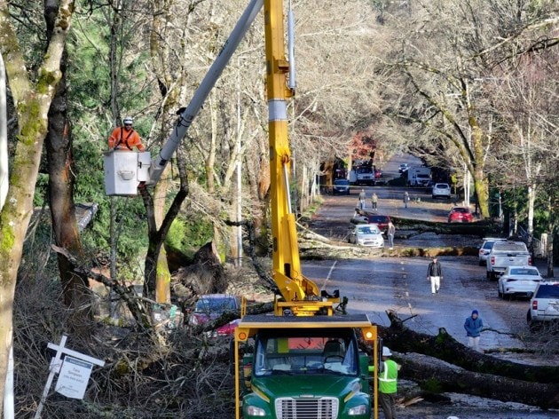
4 / 9Hurricane-force winds, over 75mph, were reported along the Oregon coast, with 94,000 customers without power in western Washington. (The Seattle Times)
 5 / 9
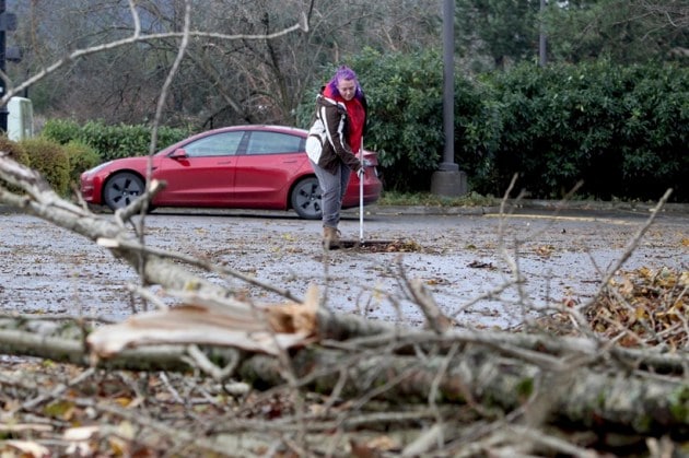
5 / 9Wind gusts of up to 68mph were recorded near Mount Rainier. (Photo: The Seattle Times)
 6 / 9
6 / 9In northern California, up to 8 inches of rain is expected in the San Francisco Bay Area and Sacramento Valley, with a winter storm watch issued for the Sierra Nevada, where up to 15 inches of snow could fall. (Photo: The Seattle Times)
 7 / 9
7 / 9Southwestern Oregon is forecast to receive between 4 to 10 inches of rain, with flood watches in effect. (Photo: The Seattle Times)
 8 / 9
8 / 9High winds of up to 70mph are expected along the Oregon coast, and travel disruptions are likely due to both heavy rain and snow. (Photo: AP)
 9 / 9
9 / 9Authorities are advising caution, with blizzard warnings in Washington’s Cascades and hazardous travel conditions expected across the region. (Photo: AP)
AdvertisementBest of ExpressCities68 murdered in Maliana, all accused acquitted 36 years later, residents ask: So who killed our families? EntertainmentDon 3 teaser: Ranveer Singh's first look revealed, says '11 mulkon ki police dhoondti hai mujhe'
 EntertainmentRajinikanth's Jailer sells 9 lakh tickets, Gadar 2 rules the North with 3 lakh ticket sales: What Independence Day weekend at movies looks like
 TrendingStart a company to get rich or solve a problem? Indian CEO says it's fine to focus on making money, netizens agree with him
 TrendingForeigner removes bottles from natural pool in Meghalaya, video sparks ire: ‘Northeast was better when inaccessible’
 Advertisement