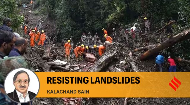

The deaths and destruction by landslides in Himachal Pradesh last week have led to much-needed attention on the Himalayan ecosystem – the world’s youngest and roughest mountain chain. Tectonic or neo-tectonic activities, associated with numerous subsurface processes like rock deformation, exhumation and reworking of rocks and surface processes such as erosion, weathering and rain/snow precipitation make the ecosystem inherently fragile. Climate-induced excessive events like freezing/thawing and heavy rain/snow precipitation lead to avalanches, landslides, debris flow, glacial lakes outburst floods, landslide lakes outburst floods and flash floods. They add to the precariousness of the mountain system. The Himalaya is further stressed by anthropogenic activities.
To live with these adversities, we need to build resilience against geo-hazards caused by natural processes, environmental degradation and anthropogenic activities. A network of relevant sensors, real-time monitoring, analysis and integration of data and the development of an integrated Early Warning System (EWS) based on AI/ML algorithms are measures that need to be adopted urgently.
It’s well-known that climate change has adverse impacts on glaciers, riverine systems, geomorphology and biodiversity, which, in turn, have increased the vulnerability of people in the mountainous states. Land degradation aggravates the problem. The confluence of the Westerly Disturbance — a low-pressure system, originating from the Mediterranean Sea, moving eastward across central Asia and northern India — and the South West Indian Summer Monsoon have caused excessive and concentrated rainfall in parts of J&K, HP and Uttarakhand leading to landslides and flash floods.
Generally, hilly regions are associated with slope instability and are prone to landslides. These are influenced by factors such as slope gradient, hill elevation, rock strength, forest cover, built-up area and unconsolidated and semi-consolidated sediments. Riverine flow, the cutting down of the toes of slopes and deforestation are some other factors that make a region vulnerable to landslides. Debris flow and underground water make a slope weak and landmass can slip down it. These parameters can be used to prepare vulnerability maps and the region can be categorised according to risk zones — most vulnerable, moderately vulnerable and least vulnerable.
The convergence of the Indian plate with the Eurasian plate in the Himalayan region has created subterranean stresses that get released in the form of earthquakes which, in turn, cause fractures and loosen the litho-structures near the mountain surface. This increases the possibilities of rock movement along the slope. Landslide warning systems should draw on an understanding of the rainfall threshold of a slope. Monitoring through web-based sensors — rain gauge, piezometer, inclinometer, extensometer, InSAR, total stations — can help. As a priority, we should monitor the most vulnerable zones with a dense population and a large built-up area.
A Council of Himalayan States must be forged to gauge the impact of surface and subsurface stresses. It should try to simulate the hazard scenario caused by natural processes, environmental degradation or climate-induced phenomena, and anthropogenic activities in hill stations or towns. The disaster management authorities of the states should come together under the centralised council. Though the Himalaya is heterogeneous over its long stretch, the knowledge from different sets of assessments needs to be disseminated and shared by all Himalayan states.
The question of environmentally sustainable socioeconomic development of the region, however, remains. The glaciers, snow fields, springs, riverine systems, deposits of precious minerals, geothermal, hydrocarbon and hydro-power energy resources and medicinal plants in the Himalaya and the region’s tourism potential could be tapped into for this purpose. A balance must, however, be ensured between the exploitation of these resources and ecological sustainability. Town planning must account for the idiosyncrasies of the mountain — heavy constructions should be barred, care should be taken to have a proper drainage system, slope cutting, if necessary, should be done scientifically, and emphasis should be on having retaining walls and adherence to building codes. High-resolution mapping of all towns and an assessment of their load-bearing capacity should be essential to the framing of building codes.
The writer is Director, Wadia Institute of Himalayan Geology


