


© The Indian Express Pvt Ltd
Tags:
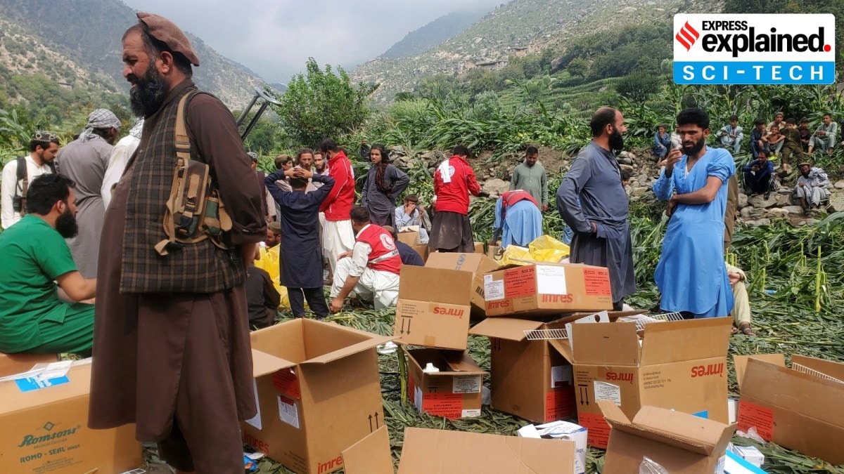
Afghanistan earthquake news: An earthquake of 6.0 magnitude struck north-east Afghanistan on Sunday night (August 31), killing more than 800 people and injuring at least 2,000. The quake’s epicentre was 27 km northeast of Jalalabad in Nangarhar province, and its depth was just eight kilometres.
Afghanistan is particularly vulnerable to earthquakes. In 2023, the country’s Herat province experienced three major earthquakes, which killed nearly 1,300 people and wounded around 1,700. In 2022, a 5.9-magnitude quake killed at least 1,300 people in the southeast region.

The Earth’s outermost surface, crust, is fragmented into tectonic plates. The edges of the plates are called plate boundaries, which are made up of faults — zones of fractures between two blocks of rock. The tectonic plates constantly move at a slow pace, sliding past one another and bumping into each other. As the edges of the plates are quite rough, they get stuck with one another while the rest of the plate continues to move.
An earthquake occurs when the plate has moved far enough and its edges unstick on one of the faults. The United States Geological Survey (USGS) says that “the location below the Earth’s surface where the earthquake starts is called the hypocenter, and the location directly above it on the surface of the Earth is called the epicentre”.
That’s because shallow quakes are generally more dangerous as they carry more energy when they emerge to the surface, when compared to quakes that occur deeper underneath the surface. While deeper quakes do indeed spread farther as seismic waves move radially upwards to the surface, they lose energy while travelling greater distances. Shallow earthquakes generally have a depth of between zero and 70 km.
Apart from the depth, the magnitude of an earthquake is also an indicator of how destructive a quake could be. Magnitude tells how big the seismic waves are, while strength refers to the energy they carry. “While each whole number increase in magnitude represents a tenfold increase in the measured amplitude, it represents 32 times more energy release,” the USGS said.
Put simply, the seismic waves produced by a magnitude 6 earthquake have 10 times higher amplitude than the ones produced by a magnitude 5 earthquake. The energy differential is even higher, 32 times for every change of 1 in magnitude.
Afghanistan is situated on top of a number of fault lines where the Indian and Eurasian plates meet. These plates collide often, leading to significant tectonic activity in the region.
Brian Baptie, seismologist at British Geological Survey, told Science Media Centre, “With India moving towards Eurasia at around 45 mm each year, this collision zone is one of the most seismically active regions of the Earth — accounting for around 15% of all seismic energy released around the world each year. This is an area of very high seismic hazard, with regular earthquake activity spreading across complex fault systems distributed over a wide region.”
That is why Afghanistan has a history of destructive earthquakes, particularly in the Hindu Kush region, where there have been 12 earthquakes with magnitudes of greater than seven since 1900, according to Baptie.
Note that the collision of these plates is also the reason behind the formation of the Himalayas.


