


Stay updated with the latest - Click here to follow us on Instagram
© The Indian Express Pvt Ltd
Tags:
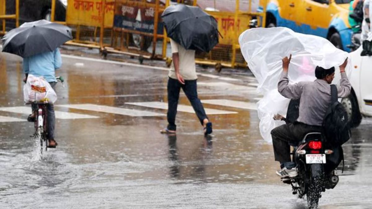
Several districts in north Bihar and eastern Uttar Pradesh recorded extremely heavy rainfall, over 210 mm, on Friday and Saturday.
The southwest monsoon is yet to withdraw from these regions and the present spell of heavy rain is associated with a low pressure system approaching Bihar, said the India Meteorological Department (IMD).
According to the Met office latest forecast, intense rainfall activity is likely to continue till Sunday; a red alert has been issued for Bihar till October 5.
The top five wettest districts in Bihar this week are Siwan, Gopalganj, East Champaran, Bhojpur and Rohtas, located along Bihar’s north and northwest regions. The IMD’s rainfall data noted that October is usually not a wet month for Bihar.
However, the 24-hour rainfall recorded in Siwan, Gopalganj, East Champaran and Bhojpur on Saturday was over 210 mm, which the IMD categorises as “extremely high”. Maharajganj in Siwan recorded 320 mm of rain, Jagdishpur in Bhojpur saw 290 mm, Gorikothi in Siwan received 280 mm, Kessariah in East Champaran recorded 250 mm and Piro in Bhojpur received 230 mm of rain on Saturday, the highest single-day rainfall, the IMD said. The single-day rainfall received at many of these places was 300-600% higher than normal for this time of the year.
Varanasi (BHU station) in Uttar Pradesh recorded 190mm of rain on Saturday, making it the wettest October day for the city ever. Its previous record of highest October rain was in 2013, when the city received 77 mm rainfall on October 5. Other rain-hit areas in Uttar Pradesh were Gaighat (170 mm), Chunar (140 mm), Chandauli (130 mm) and Jaunpur tehsil (120 mm).
Over the next two days, as the low pressure system moves north-northwestwards, it will cause widespread rain over Gangetic West Bengal, Sikkim, Assam, Arunachal Pradesh, Meghalaya, Mizoram and Nagaland till October 9, the Met office said.
No immediate respite from rain is likely in north and northwest India regions. This is in view of an approaching western disturbance that will affect these regions.
“The wind interaction between the western disturbances and the strong incoming moisture feed from the Arabian Sea will lead to a confluence resulting in heavy rain and hail over north and northwest India regions,” the IMD said in its forecast on Saturday. The IMD has issued an ‘orange’ alert for these regions on Monday.
According to the IMD forecast, enhanced rainfall accompanied by hailstorm is likely to occur between October 5 and 7 along Uttarakhand, east Rajasthan, Haryana, Chandigarh, Himachal Pradesh, Jammu and Kashmir, Rajasthan, Delhi and west Uttar Pradesh. The peak rainfall and hail is likely to occur on Monday, the Met department has warned.


Stay updated with the latest - Click here to follow us on Instagram

