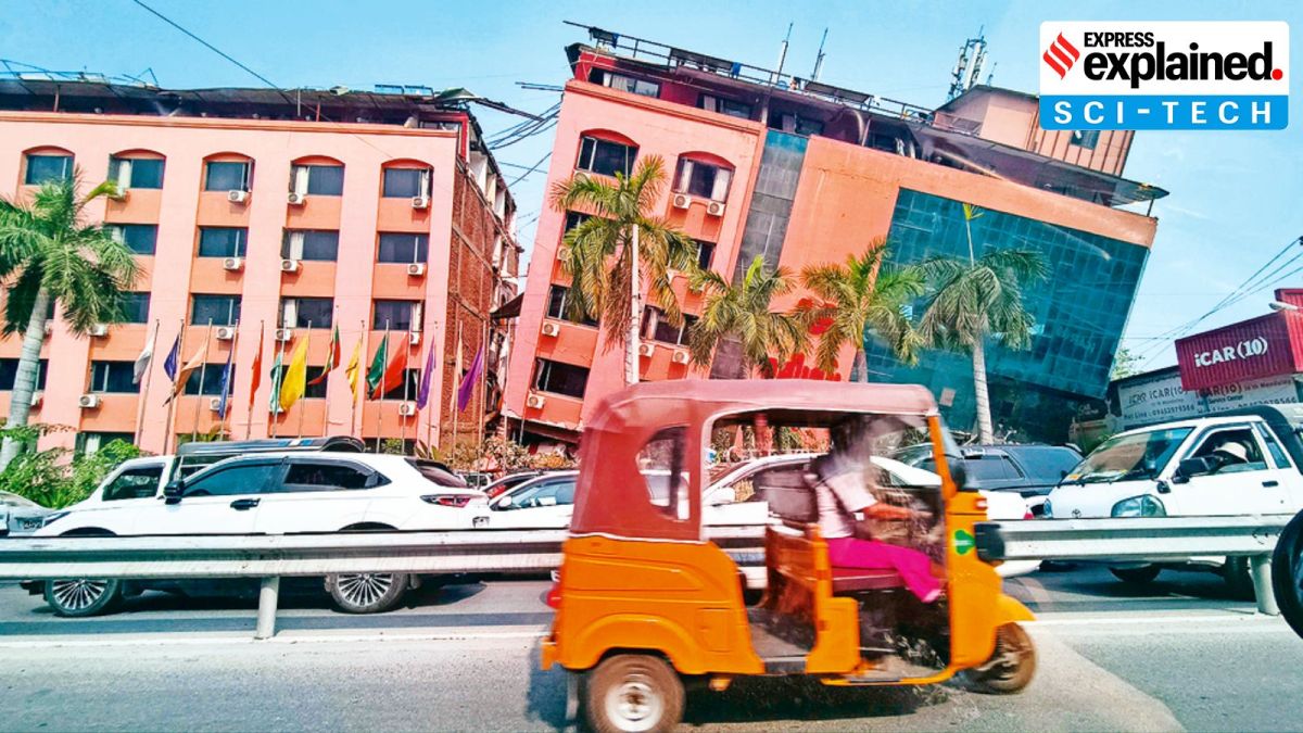
Why Myanmar is frequently rocked by earthquakes
The quake took place on the Sagaing Fault, which runs north to south through the centre of Myanmar, and is prone to earthquakes.

A powerful earthquake of magnitude 7.7 and at least six aftershocks struck central Myanmar on Friday, bringing buildings down in the country’s second-largest city, Mandalay, and killing at least 1,600 people as of Sunday.
Neighbouring Thailand was also affected: an under-construction skyscraper in the capital Bangkok collapsed, killing at least nine people. Parts of Northeast India also felt the shake, although no casualties or significant damage to property has been reported.
What caused the earthquake?
Earth’s lithosphere, the rigid outermost rocky shell of the planet, is made up of a number of tectonic plates. These have been slowly moving over the last three-four billion years, with their interaction responsible for many of the planet’s geological features.
Earthquakes occur when two tectonic plates suddenly slip past one another. This releases stored-up “elastic strain” energy in the form of seismic waves, and causes the ground to shake.
The USGS said the Myanmar earthquake took place due to the “strike slip faulting” between the Indian and Eurasian plates, meaning these two plates rubbed sideways against each other.
The quake took place on the Sagaing Fault, which runs north to south through the centre of Myanmar, and is prone to earthquakes. A fault is a fracture or zone of fractures between two blocks of rock, which allows the blocks to move relative to each other, sometimes leading to earthquakes.
“The Sagaing fault…marks the tectonic plate boundary between the Indian plate to the west and the Eurasian plate to the east. The Indian plate is moving north along the fault compared to the Eurasian plate,” Bill McGuire, emeritus professor of geophysical and climate hazards at University College London, told The Guardian.
How frequently do quakes occur in Myanmar?
Myanmar frequently experiences earthquakes due to the Sagaing fault. Since 1900, at least six quakes of magnitude greater than 7 have occurred near the Sagaing Fault, according to USGS data.
The most recent of these was a magnitude 7 earthquake in January 1990, which led to the collapse of 32 buildings. In February 1912, a magnitude 7.9 quake occurred just south of the epicentre of Friday’s earthquake. A 6.9 magnitude earthquake occurred in roughly the same area in 2016.
Over the last 100 years, Myanmar has witnessed 14 earthquakes of magnitude 6 or above. But one of the worst earthquakes to occur in the region came in 1839. This “may be the best recent analogue” for Friday’s quake, Ian Watkinson, a researcher at University of London, told the UK-based Science Media Centre. That earthquake is believed to be of magnitude 8.3 and estimated to have killed 300-400 people.