


© The Indian Express Pvt Ltd
Tags:
Multiple global weather models have forecasted a delayed emergence of La Niña — the periodic cooling of ocean surface temperature in the equatorial Pacific Ocean. While earlier they expected La Niña’s onset around July, the latest data show that it will develop during September or later.
The climate pattern, known to favour rainfall during the monsoon season in India, is one of the three phases of the El Nino Southern Oscillation (ENSO).
Here is a look at what ENSO is, what the models are saying, and will La Niña’s emergence this year impact the monsoon in India.
The El Nino Southern Oscillation (ENSO) is a climate phenomenon characterised by changes in sea temperatures along the central and eastern tropical Pacific Ocean, coupled with fluctuations in the overlying atmosphere. It can alter and interfere with the global atmospheric circulation, which, in turn, influences the weather worldwide. ENSO has three phases – warm (El Niño), cool (La Niña), and neutral. It occurs in irregular cycles of 2 to 7 years.
In the neutral phase, the eastern side of the Pacific Ocean (near the northwestern coast of South America) is cooler than the western side (near the Philippines and Indonesia). This is due to the prevailing wind systems that move from east to west, sweeping the warmer surface waters towards the Indonesian coast. The relatively cooler waters from below come up to replace the displaced water.
These wind systems weaken in the El Niño phase leading to lesser displacement of warmer waters. As a result, the eastern side of the Pacific becomes warmer than usual. In the La Niña phase, the opposite happens.
The latest El Niño event prevailed between June 2023 and May 2024, whereas La Niña conditions lasted three consecutive years between 2020 and 2023.

The National Oceanic and Atmospheric Administration (NOAA) has confirmed the delayed emergence of La Niña, with a transition from neutral to positive sea surface temperature indicating ENSO neutral towards La Niña likely between August and October. In its ENSO update dated July 11, the US-based agency predicted La Niña conditions to materialise from September to November. In such a case, these conditions would prevail through winter in the northern hemisphere.
The Bureau of Meteorology (BoM), Australia, too, has maintained the La Niña ‘watch’ stage in its latest ENSO outlook report, and predicted the emergence of cooler-than-usual sea surface conditions along the equatorial Pacific Ocean in the latter half of this year. It also said the global sea surface temperatures were at a record high during April-June this year.
In its outlook dated July 5, the Indian National Centre for Ocean Information Services (INCOIS), Hyderabad, said ENSO neutral conditions would prevail until September this year after which chances of La Niña were likely.
“The development of La Niña is high in September-January. It could peak during November this year,” the INCOIS outlook stated.
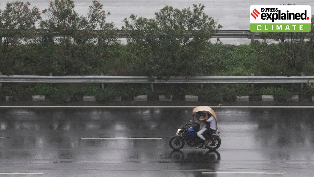
This year, the India Meteorological Department (IMD) has forecast an ‘above’ normal rainfall during June – September.
The seasonal rainfall is expected to be 106% of the Long Period Average of 880 mm (1971 – 2020 records). July rainfall looks promising as the country is expected to continue receiving widespread rainfall in the next ten days. Rainfall during July and August accounts for nearly 70% of the country’s seasonal rainfall.
Even if La Niña conditions emerge by September, meteorologists do not see any cause for alarm.
M Rajeevan, former secretary of the Ministry of Earth Sciences told The Indian Express, “The delayed development of La Niña may not have a serious impact on the monsoon’s performance over India. Even though La Niña conditions favour good monsoon rainfall, it is not essential.”
In recent years, the southwest monsoon has overstayed its forecast period with its complete retreat from the country extending well into mid-October or later.
If La Niña conditions emerge by September — climatologically the last month of the monsoon — there is a strong possibility of above normal rainfall during the final monsoon month. The rainfall during September amounts to 15% of the seasonal rainfall.
Over the last two years, the exit of the southwest monsoon has nearly coincided with the onset of the northeast monsoon, a scenario that could be realised in 2024, according to experts. In the past, such extended rainfall has often led to flooding during September given that there would be no break between the two monsoons.


