


© The Indian Express Pvt Ltd
Tags:
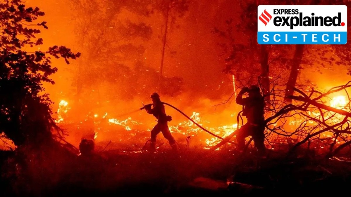
The wildfires currently raging in the United States and Canada are so intense that they have created ‘pyrocumulonimbus’ clouds, which have the potential to spit out thunder and spark more fires.
The development of these clouds has become more frequent in recent years. Before 2023, 102 pyrocumulonimbus were recorded globally in a single year on average — 50 of them were seen in Canada, according to a report published in the journal Nature. However, during last year’s extreme wildfire season, 140 pyrocumulonimbus clouds were recorded in Canada alone, the report said.

The intense heat from the fire warms the surrounding air which moves upward into the atmosphere. As this hot and very buoyant air — carrying water vapour, smoke, and ash — rises, it expands and cools down. Once it is cool enough, water vapour condenses on ash, forming a grey or brown cloud. At this stage, the cloud is known as a pyrocumulus cloud, also known as ‘fire cloud’. But if there is sufficient water vapour available and the upward movement of hot air intensifies, pyrocumulus clouds can evolve into a pyrocumulonimbus cloud. These clouds can reach heights of 50,000 feet and generate their own systems of thunderstorms.
Although pyrocumulonimbus clouds can produce lighting, they do not generate much rain. As a result, they can spark new wildfires many kilometres away from the main blaze. These clouds can also trigger strong winds that can make the spread of the wildfire faster and unpredictable.
The exact reason remains unclear as unlike in the case of other extreme weather events, the study of these clouds is relatively new. However, scientists believe that climate change could have a role to play in the increase of their frequency.
Studies have shown that with temperatures soaring across the world, wildfires are becoming more common and intense. This could be spiking the occurrence of pyrocumulonimbus clouds.
“In a general sense, if you have more fires you’ll have more pyroCbs (pyrocumulonimbus) because there are more opportunities to have them sink up, but it depends on atmospheric conditions, too… An intense wildfire definitely increases the odds,” David Peterson, a meteorologist at the US Naval Research Laboratory in California, told The New York Times.

