Why La Niña’s cooling effect could not reduce January temperatures
January 2025 was the 18th month in the last 19 when the global average surface air temperature breached the 1.5 degree Celsius threshold. Scientists had expected that the arrival of the La Niña phase, which emerged in December 2024, would bring some relief from the heat. However, this did not happen
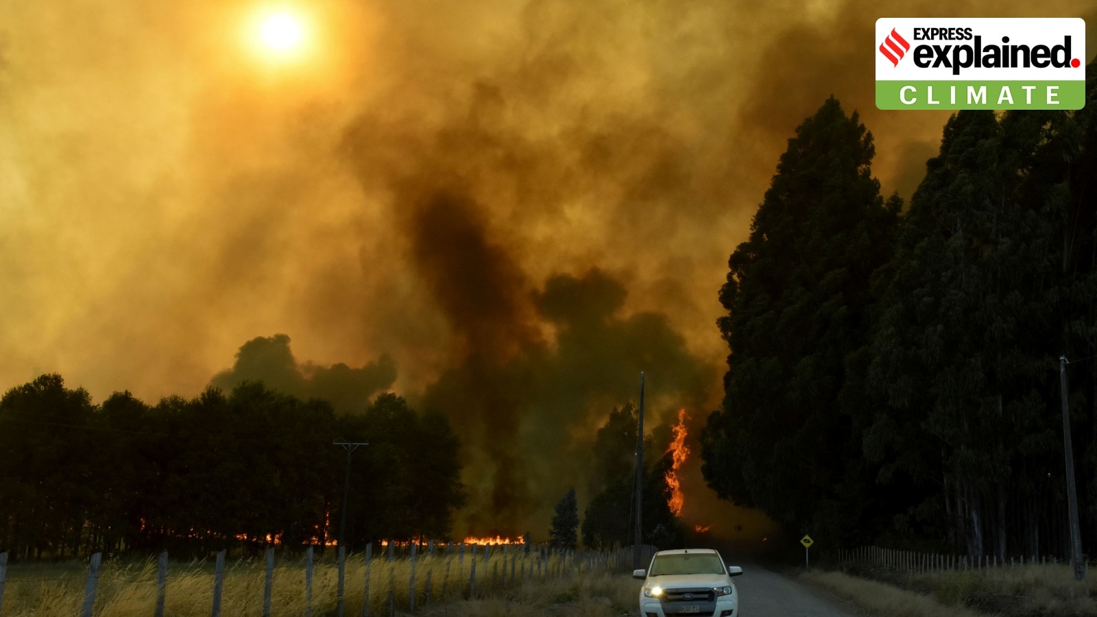
 Smoke rises as a fire burns following the spread of wildfires near Lautaro, Chile February 9, 2025 REUTERS/Hector Andrade
Last month was the hottest January on record, with the global average surface air temperature being 1.75 degrees Celsius above the pre-industrial level (1850-1900 average), Europe’s Copernicus Climate Change Service (C3S) said last week. It also said the temperatures reached record-breaking levels despite the development of La Niña conditions in the tropical Pacific and their temporary cooling effect on global temperatures.
January 2025 was the 18th month in the last 19 when the global average surface air temperature breached the 1.5 degree Celsius threshold. Scientists had expected that the arrival of the La Niña phase, which emerged in December 2024, would bring some relief from the heat. However, this did not happen.
Julien Nicolas, a climate scientist at Copernicus, told Agence France-Presse: “This is what makes it a bit of a surprise: you’re not seeing this cooling effect, or temporary brake at least, on the global temperature that we were expecting to see.”
Here is a look at why La Niña did not reduce temperatures in January this year, and why this is significant.
First, what is La Niña?
La Niña is one of the three phases of what is known as the El Niño Southern Oscillation (ENSO), a climate phenomenon characterised by changes in sea temperatures along the central and eastern tropical Pacific Ocean, accompanied by fluctuations in the atmosphere overhead. ENSO influences, alters, and interferes with global atmospheric circulation, which, in turn, influences the weather worldwide.
ENSO has three phases — warm (El Niño), cool (La Niña), and neutral — which occur in irregular cycles of two to seven years.
In the neutral phase, the eastern side of the Pacific Ocean (near the northwestern coast of South America) is cooler than the western side (near the Philippines and Indonesia). This is due to the prevailing wind systems that move from east to west, sweeping the warmer surface waters towards the Indonesian coast. The relatively cooler waters from below come up to replace the displaced water.
In the El Niño phase, these wind systems weaken, leading to lesser displacement of warmer waters off the South American coast. Consequently, the eastern Pacific becomes warmer than usual.
The opposite happens in the La Niña phase — the trade winds become stronger than usual and push larger quantities of water to the western Pacific.
While global temperatures increase during an El Niño episode, they fall during La Niña. However, regional effects are more complicated, and some places may be both warmer and cooler than expected at different points in the year.
Why did La Niña not cool temperatures in January 2025?
Each El Niño and La Niña phase is unique. This means that, let’s say, no two La Niña cycles are exactly alike due to variations in intensity, duration, and specific regions impacted by them. Therefore, the development of these phases would not necessarily increase or decrease global temperatures with the same intensity every time.
The ongoing La Niña cycle is expected to be weak. That could be because of its much-delayed emergence — experts thought that La Niña would develop around September 2024 but they emerged in December — among several other factors. According to a report by the US National Oceanic and Atmospheric Administration (NOAA), “ENSO events peak in the northern Hemisphere winter, and there’s just not a lot of time for La Niña to strengthen.” A weaker La Niña typically has a weaker influence over temperature and precipitation patterns.
Moreover, despite the arrival of a La Niña phase, the rate of rise in heat-trapping atmospheric carbon in 2024 and January 2025 has remained above the already high levels of previous years, according to a report published by The Conversation. Usually, a strong La Niña brings a lot of extra rain, leading to more plant growth. This, in turn, results in more absorption of carbon from the atmosphere by the plants.
The dip in concentration of aerosols, or suspended particles, in the atmosphere due to clean air policies being implemented in some regions could have also played a role in keeping temperatures warmer. Aerosols, in general, have a cooling effect as they scatter the solar radiation back into space. They also impact cloud formation which, in turn, affects how much sunlight is absorbed or reflected.
Why is this significant?
Experts suggest that a particularly warm January cannot foretell the long-term trajectory of weather patterns on the planet. However, it does indicate that the ability of natural cooling phases to temporarily bring down global temperatures might be waning.
The only way to thwart this from happening is to drastically reduce greenhouse gas (GHG) emissions. In 2024, atmospheric GHG reached the highest annual levels ever recorded in the atmosphere, according to C3S.
- 01
- 02
- 03
- 04
- 05


