Under the project, the BMC will acquire satellite images of Mumbai between 1990 to 2020 and mapping of these structures.
It will also take the help of the Geographic Information System (GIS) system to create a database of the structures in Mumbai for the detection of illegal construction.
Advertisement
The civic body has finalized the Amnex Infotechnologies Private Limited for the work. The project will cost Rs 11.20 crore and the contract will be for four years and three months.
A proposal of appointing the firm for creating a database of satellite images for identifying illegal construction will be tabled in the Standing Committee on Thursday for approval.
“We wanted to create a database of deviation in structures existing after 1960 since all structures before that are termed as legal. However, there was no data available. So, we have to create a database of satellite images of the city after 1990. We will create a software where all data will be used to understand the changes in the structures,” said an official from the Removal of Encroachment (RE) Department.
The BMC’s move came after Bombay High Court’s directions on illegal constructions in the city. In 2019, the civic body had informed the High Court that they will use satellite images to identify illegal construction.
Opposition leader Ravi Raja recently claimed that there are over 80,000 complaints regarding illegal constructions in the city. He slammed the corporation on very little action against these constructions as data had shown that action was taken in only 5 per cent of the cases.

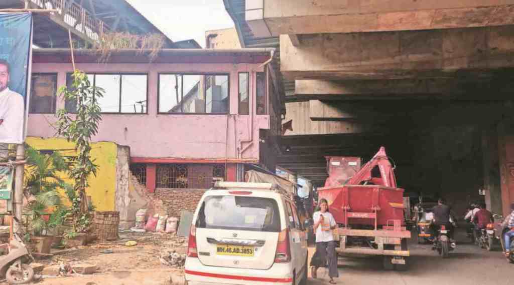 One of the encroachments on the link road. (Yogesh Naik/File)


 Share


